What is recorded here
Situated on a NW-facing slope overlooking Lough Lea c. 200m to the NW, and within the enclosure (RO023-165001-) attached to rath (RO023-165----). It was excavated (10E0328) by Derek Gallagher in advance of development (Ó Séaghdha 2010; Gallagher 2013). The burnt mound material (RO023-165002-)) also overlay a well at its W edge and c. 4m W of the trough. The well is in unrelated to the fulacht fia and was funnel-shaped at the top (dims 2.4m E-W; 2m N-S) leading to a subcircular shaft (diam. of base 0.66m; total D 1.6m). The well was unlined and fragments of a wooden bowl were found at the water-logged base, where two posts stood upright, probably to support a superstructure for the well. The bowl produced a C14 date of cal. AD 403-544. (Bermingham and Ó Séaghdha 2012, 10)
Compiled by: Michael Moore
Date of revised upload: 20 July 2018
The monument record does not grant public access. Check the route and ask the landowner before entering private land.
- What survives
- Recorded monument
Places near here
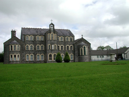 Convent of Mercyconvent/nunnery · 300 yd
 Saint John's Church (Bumlin)church/chapel · 458 yd
 IndicatedFairy fort / earthen ringfort · 580 yd
 Sweet ChestnutSweet Chestnut · 1001 yd
 Pedunculate OakPedunculate Oak · 1198 yd
 Strokestown House GardensHeritage attraction · 1447 yd
 Strokestown ParkHeritage attraction · 1.0 mi
 CastleCastle, unclassified · 2.0 mi
 Slieve BawnMountain / peak · 4.5 mi
 Leitrim CastleCastle, unclassified · 4.8 mi
 War of Independence Commemorative Military MemorialMemorial · 5.9 mi