What is recorded here
Marked on the 1841-42 and 1914-15 edition of the OS maps as 'Alick's Well'.
Situation and Description: According to O'Donovan (OSNB), this well is situated close by the public road and was known locally as 'Allick Well'.
The above description is derived from C. Toal, ‘North Kerry Archaeological Survey’. Dingle. Brandon in association with FAS Training and Employment Authority (1995), no. 919. In certain instances the entries have been revised and updated in the light of recent research.
Date of upload: 13 August 2013
The monument record does not grant public access. Check the route and ask the landowner before entering private land.
- What survives
- Recorded monument
Places near here
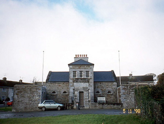 Tarbert Courthousecourt house · 670 yd
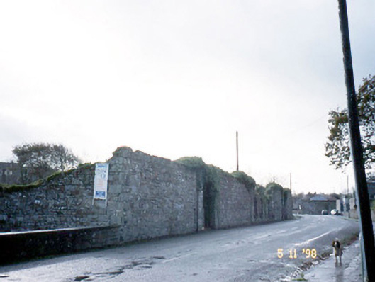 creamerycreamery · 728 yd
 Enclosure in Doonard UpperEnclosure · 1.0 mi
 Hachured, Massys HillBastioned fort · 1.0 mi
 Tarbet BayBay · 1.2 mi
 Tarmon Castle (in ruins)Castle, unclassified · 2.1 mi
 Labasheeda Fort (19th Century)Castle · 2.7 mi
 Ballymacrinan BayBay · 3.6 mi
 St Senan's WellSpring · 4.2 mi
 Siege of Carrigafoyle Castlesiege · 4.6 mi
 Carrig IslandIsland · 4.7 mi
 Crag WoodWood · 5.1 mi