
What is recorded here
From the National Monuments Service (Archaeological Survey of Ireland) record LA024-078
Places near here
Photo credits
- Maker not stated on source page, www.pinterest.com
- Maker not stated on source page, www.dreamstime.com
- Maker not stated on source page, commons.wikimedia.org
- Maker not stated on source page, monumentalireland.ie
- Maker not stated on source page, www.tripadvisor.com
- Maker not stated on source page, au.pinterest.com
- Andreas F. Borchert, Wikimedia Commons · CC BY-SA 4.0
- A.-K. D., Wikimedia Commons
- liam murphy, Geograph · CC BY-SA 2.0
- Maker not stated on source page, es.findagrave.com
- Kmcnamee, Wikimedia Commons · CC BY-SA 4.0
 Standing stone in GarryglassStanding stone · 1 yd
Explorer Tom Standing stone in Garryglass has been standing around doing absolutely nothing for centuries, and it shows no sign of…
 Enclosure in GarryglassEnclosure · 1080 yd
Explorer Tom Enclosure in Garryglass is where a poet famously fell into the ditch right next door. The circle is eighty meters wide…
 Church in ClarbarracumChurch · 1.2 mi
Explorer Tom Church in Clarbarracum loves the song 'Take On Me' because it feels like a ghost trying to dance. It is unlocated and…
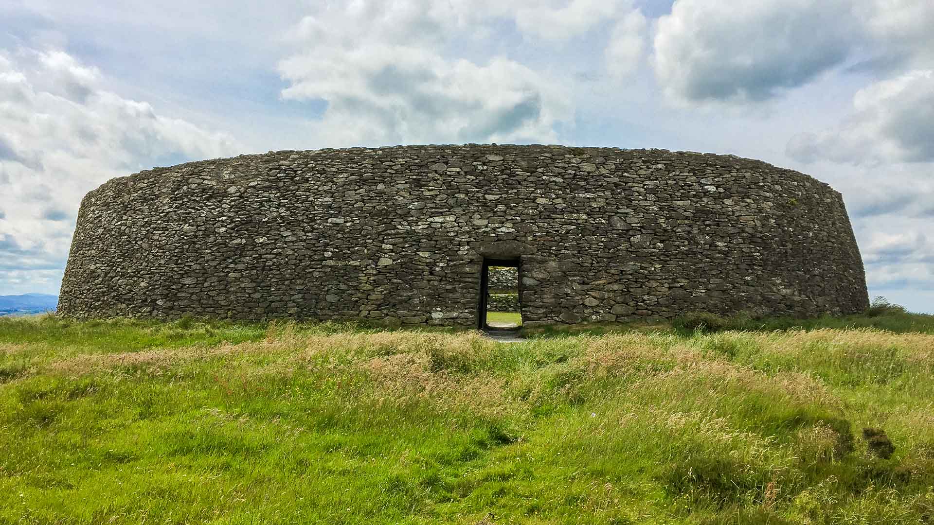 Fairy fort / earthen ringfort in Ballinaclogh LowerFairy fort / earthen ringfort · 1.4 mi
Explorer Tom Fairy fort / earthen ringfort in Ballinaclogh Lower would buy a yacht if it won the lotto, probably. It might have been…
Enclosure in BaunogemeelyEnclosure · 1.5 miExplorer Tom Enclosure in Baunogemeely would explain the 1800s to a teen as 'vibes and fields'. It’s just a cropmark now, but it…
 Cist in Ballinaclogh LowerCist · 1.5 mi
Explorer Tom Cist in Ballinaclogh Lower is bitter about not being as famous as Newgrange, even though it’s basically just a box of…
 Saint Mochua's Monastery GraveyardGraveyard · 2.1 mi
Explorer Tom Saint Mochua's Monastery Graveyard was saved by a hero nobody remembers who probably just moved a rock. The silence…
 Saint Michael's Catholic ChurchChurch/chapel · 2.1 mi
Explorer Tom Saint Michael's Catholic Church in Timahoe is an 1831 masterpiece with a gallery that looks like it was added as an…
 Timahoe Heritage CentreMuseum · 2.1 mi
Explorer Tom Timahoe Heritage Centre occupies a preserved nineteenth-century church in County Laois, with the village's famous round…
 Timahoe Church and Round TowerVisitor information · 2.1 mi
Explorer Tom Timahoe Church and Round Tower in County Laois has a legend about a giant who tried to move it and slipped on a pie.…
 Mapped graveyardGraveyard · 2.3 mi
Explorer Tom In a job interview, this Mapped Graveyard in Laois would probably say it has strong experience in long-term silence and…
 Spink GAA pitchGAA ground · 2.5 mi
More archaeology and monuments in County Laois · All of County Laois

What do you know about this place?Tap to add a comment or ask a question