What is recorded here
Situated on the S-facing slope of a slight rise in the flood-plain of the NW-SE Tolka River which is c. 400m to the N. Archaeological monitoring (08E0605) by C. McCarthy of topsoil stripping over an extensive area (max. dims c. 450m N-S; c. 350m E-W) identified five areas with archaeological deposits and features (McCarthy and Mitchell 2008; excavations.ie 2008:943). One was post-medieval, another is preserved in situ and the other three were resolved (08E0840) by the same archaeologist (excavations.ie 2008:944).
In Area 1 a water-hole (dims of top 7.8m x 5.4m; D 1.6m) with a fairly flat base (diam. c. 1.6m) has a ramp on the W side leading to the bottom. The basal fill of black silt (T 0.6m) had organic remains with a layer of compact clay and stones, some burnt, above it, and grey and orange silts above that. A distinct lens of charred wood, identified as alder, was within the lowest of these silts. No artefacts were recovered from the waterhole but a sample of hazelnut shell from its base produced a C14 determination of 1385-1212 cal. BC.
There were numerous post-holes and pits beyond the edge of the waterhole, including a cluster of seven post-holes on the W side, although no pattern was discerned. They contained some bones, and were filled with silty, charcoal-flecked clays but only two sherds of pottery were recovered from them. One is a worn and probably intrusive residual sherd from a carinated bowl dating to the Neolithic while the other equally worn sherd is a coarse ware dating from the Middle Bronze Age. A NNE-SSW medieval field ditch (L c. 58m; Wth c. 1.25m; max. D 0.4m) with a terminus at its N end and two feeder drains was c. 20m to the W. There was an isolated burial of a young adult male in the supine position NE-SW at the N end of the ditch, but the skull, which was at NE, had been removed by a modern stone-filled drain. (McCarthy et al. 2009, 18-30)
See the attached plan from McCarthy et al (2009, fig. 9)
compiled by: Michael Moore
Date of upload: 9 November 2021
The monument record does not grant public access. Check the route and ask the landowner before entering private land.
- What survives
- Recorded monument
Places near here
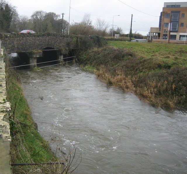 Clonee Bridgebridge · 450 yd
 Church in Clonee (dunboyne By.)Church · 451 yd
 Enclosure in Clonee (dunboyne By.)Enclosure · 802 yd
 Enclosure in LoughsallaghEnclosure · 1316 yd
 CastleCastle, ringwork · 1.4 mi
 Church, GraveyardChurch · 1.9 mi
 TyrrelstownWood · 2.3 mi
 Graveyard in BuzzardstownGraveyard · 2.4 mi
 Luttrellstown CastleCastle · 2.5 mi
 GinkgoGinkgo · 2.8 mi
 Griffeen Valley WalkWalking route · 4.4 mi
 Saint Wolstan'sHeritage attraction · 5.2 mi