What is recorded here
This was listed in the SMR (1990) as a 'Well possible'. According to the cover sheet for this record, the source of the information is the 'South-west Kerry Archaeological Survey'. However, there is no information on file for this record.
Compiled by: Elizabeth Byrne, Ursula Egan and Sheila Ronan, Archaeological Survey Unit, University College, Cork.
Date of upload: 30 May 2011
The monument record does not grant public access. Check the route and ask the landowner before entering private land.
- What survives
- Recorded monument
Places near here
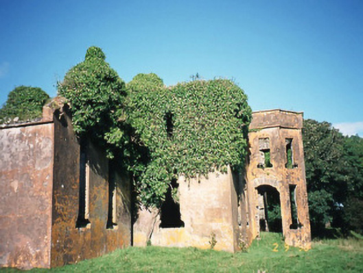 Castlequincountry house · 866 yd
 Killobarnaun Oratory (in ruins)Church · 944 yd
 Burnt spread in CastlequinBurnt spread · 970 yd
 Hut site in CloghanelinaghanHut site · 1222 yd
 Foughil IslandIslet · 1.5 mi
 Ballycarbery CastleRuins · 1.6 mi
 OutlinedBawn · 1.6 mi
 Ballycarbery Castle (in ruins)Castle, hall-house · 1.6 mi
 SlievaghMountain / peak · 1.9 mi
 BenteeMountain / peak · 1.9 mi
 White Strand BeachBeach / strand · 2.4 mi
 Laharn Bog LoopWalking route · 2.4 mi