What is recorded here
In a blackfriary in County Meath, an oval well cut two metres into earth trapped a man whose bones still mark the violence of his death. The sides collapsed, dragging him into silty sand before clay and stone sealed the hole shut. Three other buried bodies lie nearby, suggesting the well served as a grave for those the community could not or would not properly bury.
An oval, earth-cut well (dims 1.42m; D 2.2m) containing silty sand that was closed with clay containing stone and slate was recorded in excavation (E002398). The skeletal remains of an adult male, who had suffered a traumatic death and can be dated to the 15th century, had slumped into the well through the collapse of its sides. Three other truncated inhumations were recorded in the vicinity. (Seaver 2011)
Compiled by: Michael Moore
Date of upload: 17 February, 2015
Amended: 11 August 2023
The monument record does not grant public access. Check the route and ask the landowner before entering private land.
- What survives
- Recorded monument
Places near here
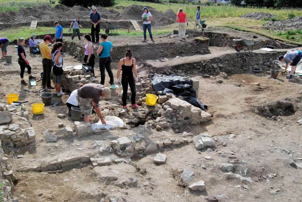 The Blackfriary Community Heritage and Archaeology ProjectArchaeological place · 49 yd
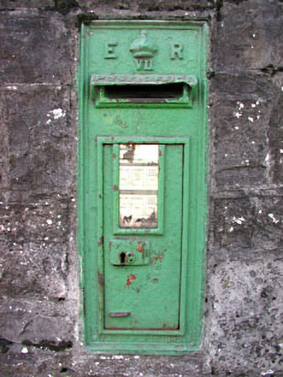 post boxpost box · 65 yd
 IndicatedField boundary · 149 yd
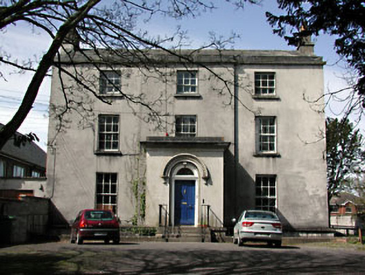 The Old Rectoryrectory/glebe/vicarage/curate's house · 163 yd
 CastleCastle, hall-house · 641 yd
 Trim CastleCastle, Anglo-Norman masonry castle · 716 yd
 Small-leaved ElmSmall-leaved Elm · 3.6 mi
 Wych ElmWych Elm · 3.6 mi
 Tara Open StudioGallery · 7.5 mi
 Kilgar GardensHeritage attraction · 9.5 mi
 MullaghMountain / peak · 9.6 mi
 Old Bog Road made famous by Teresa Bryton 1868-1943Memorial · 9.7 mi