What is recorded here
Named the 'Tongue' on the 1837 OS 6-inch map, this stone-built feature divided the Dublin City Watercourse into two branches, one going towards the Grand Canal Basin and the other to Dean Street (Joyce 1912, 452, 453).
The monument record does not grant public access. Check the route and ask the landowner before entering private land.
- What survives
- Recorded monument
Places near here
 Mountdown Mills (Disused)Mill, unclassified · 338 yd
 Éamonn CeanntMemorial · 351 yd
 Arthur Guinness the SecondMemorial · 585 yd
 Mount Jerome HouseHouse, 18th/19th century · 693 yd
 La Galerie ImpromptuGallery · 812 yd
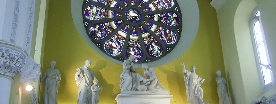 Mary Aikenhead Heritage CentreMuseum · 996 yd
 Windmill in Unknown TownlandWindmill · 1096 yd
 OutlinedHoly well · 1303 yd
 Site of Donore Castle indicatedCastle, unclassified · 1571 yd
 Rathgar CastleCastle, unclassified · 1592 yd
 Bus Route InformationVisitor information · 1.3 mi
 Battle of RathminesMajor battlefield · 1.4 mi