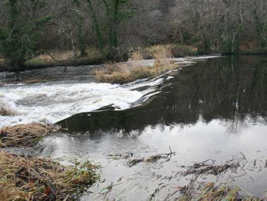
What is recorded here
Weir (on curvilinear-plan) spanning the River Leannan, erected c. 1790, and altered c. 1850. Possibly incorporating fabric from earlier weir or weirs to site. Formerly associated with iodine and bleach mills works; later associated with Watt’s Salmon Fishery. Rubble stone construction. Additional weir (on curvilinear-plan) to the east, built c. 1800 and altered c. 1850, having remains of weir mechanism to the centre. Links south bank of River Leannan with island to centre of river; additional section to the north, built c. 1820, and altered c. 1860 and c. 1920, having rectangular sluice (?) structure to the centre with cement rendered rubble stone walls to the north and south elevations, concrete cutwaters and remains of timber sluice mechanism to the west elevation, and with cement rendered brick piers to the east elevation with remains of wrought-iron sluice mechanism. Square-headed doorway to the south linked to island to south by remains of timber footbridge. Additional weir to the north-east, added c. 1860, having rubble stone construction. Located in the rural countryside to the south-west of the centre of Ramelton, and to the south-west, south, and east of former bleaching green, site of former iodine and bleaching works, and later salmon fishery, and to the south of The Green (see 40800305).
An interesting collection of three rubble stone weirs, of various dates and functions that represents an integral element of the extensive and important industrial heritage of Ramelton. The weir to the west appears to have been formerly in use, c. 1800, to supply a headrace to supply a mill pond to the north-east associated with former iodine works and later a bleaching mill (c. 1820), now demolished (c. 1910?). The central weir to the south of the former bleaching green appear to originally date to c. 1800 but was later altered c. 1850 as part of Watt’s Salmon Fishery; the unusual structure to the north with cement rendered rubble stone walls to the north and south, and sluice mechanisms to either end, was associated with this salmon fishery, possibly to harvest salmon. The now denuded weir to the north-east was formerly an eel weir, and is probably the latest of the three weirs to this complex.
This does not grant access. Most recorded buildings are privately owned; view them only from public ground unless the owner allows entry.
Places near here
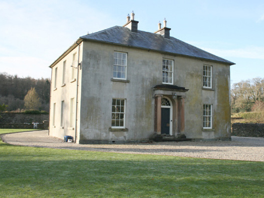 The Greenhouse · 130 yd
 European BeechEuropean Beech · 172 yd
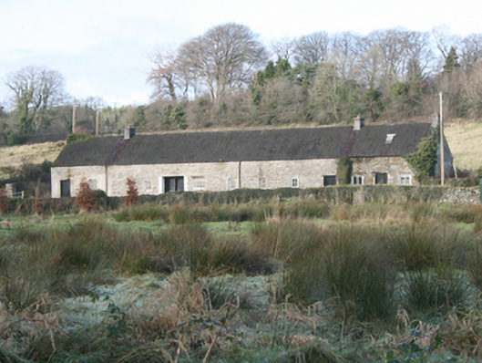 worker's house, outbuildingworker's house, outbuilding · 224 yd
 Drummonaghan WoodForest recreation place · 516 yd
 Tullyaughnish Old Church GraveyardGraveyard · 822 yd
 Bawn in RathmeltonBawn · 1096 yd
 Carnhill Stone Ringfort near the Ruined ChurchFairy fort / stone ringfort · 2.0 mi
 Ardnaree Raised Fairy FortFairy fort / earthen ringfort · 2.0 mi
 Fort Stewart in RuinsBawn · 3.4 mi
 Mullanadee ShoreBeach / strand · 5.5 mi
 Croaghan HillMountain / peak · 5.7 mi
 Gregory HillMountain / peak · 8.3 mi
Other information
Photo: National Inventory of Architectural Heritage · Website use allowed for educational or private purposes with source credit