What is recorded here
Lyons (1936, 292) suggests that a mill weir S of the Suir Islands and SE of Suir Island House 'anciently may have been a fishing weir'. The weir is not indicated on the 1st (1840-41) ed. OS 6-inch map which suggests that it's construction post-dates 1840-41. The evidence does not warrant its inclusion as an archaeological monument.
From the National Monuments Service (Archaeological Survey of Ireland) record TS083-019016
The monument record does not grant public access. Check the route and ask the landowner before entering private land.
- What survives
- Recorded monument
Places near here
Photo credits
- National Inventory of Architectural Heritage
- Colin Park, Geograph · CC BY-SA 2.0
- A.-K. D., Wikimedia Commons · CC BY-SA 4.0
- Digital Eye, Wikimedia Commons · CC BY-SA 4.0
- A.-K. D., Wikimedia Commons · CC0
- John Williams Writes, Wikimedia Commons · CC BY-SA 4.0
- MonikaLisa2, Wikimedia Commons · CC BY-SA 4.0
- R. A. Nonenmacher, Wikimedia Commons · CC BY-SA 4.0
- RustyTheDog, Wikimedia Commons · CC BY-SA 3.0
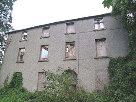 Suir Island HouseMiller's house · 73 ydLittle IslandIslet · 122 yd
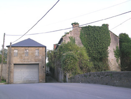 store/warehouse179 yd
 Streches IslandIsland · 277 yd
 Merchant's HouseVisitor information · 318 yd
 Main GuardHeritage attraction · 321 yd
 Charles BianconiMemorial · 337 yd
 Allen, Larkin and O'Brien MonumentMonument · 445 yd
 Graveyard556 yd
 Frank PattersonMemorial · 573 yd
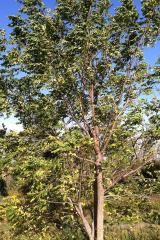 Black Walnut710 yd
 Siege of ClonmelSiege · 871 yd
More archaeology and monuments in County Tipperary · All of County Tipperary
What do you know about this place?