What is recorded here
A weir is mentioned in the Civil Survey as being located 'upon the River of Shewer belonginge to the sd Lord of Cahyr neere the sd Mansion house' which is Cahir castle (Simington 1931, vol.1, 350-51). This may be at the site of the V-shaped weir which is indicated on the 1st (1840) ed. OS 6-inch map in the river N of the castle and immediately N of the mid-section of the bridge (TS075-048006-).
Compiled by: Jean Farrelly
Date of upload: 26 August 2011
The monument record does not grant public access. Check the route and ask the landowner before entering private land.
- What survives
- Recorded monument
Places near here
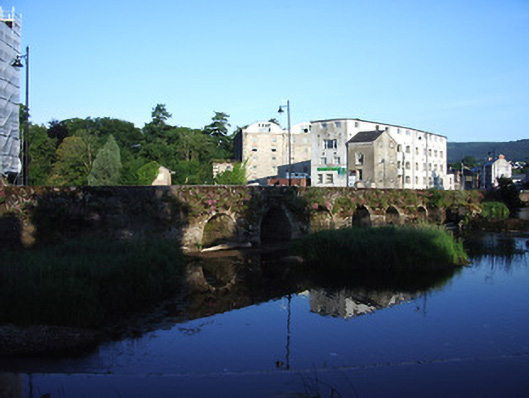 bridgebridge · 45 yd
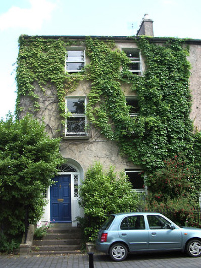 The Mall Househouse · 81 yd
 Cahir CastleHeritage attraction · 136 ydSiege of Cahir Castlesiege · 174 yd
 Ladys WellHoly well · 411 yd
 Caher AbbeyHeritage attraction · 483 yd
 Site of CastleCastle, unclassified · 1030 yd
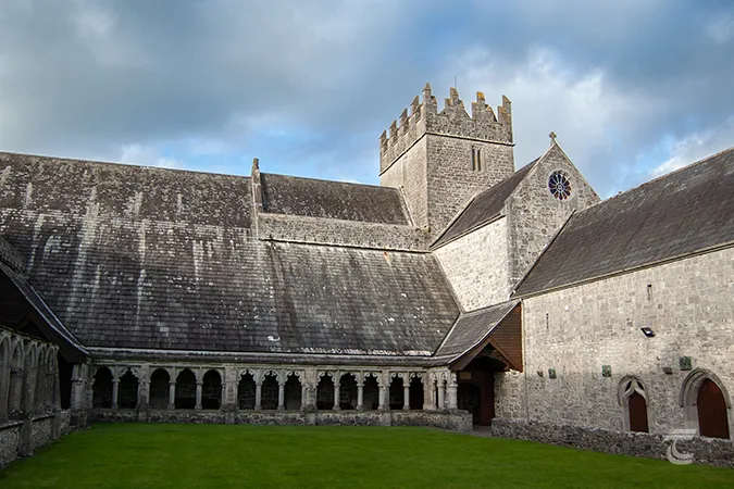 Enclosure in Caherabbey UpperEnclosure · 1151 yd
 Pedunculate OakPedunculate Oak · 1608 yd
 European YewEuropean Yew · 1.3 mi
 Castle (in ruins)Castle, unclassified · 1.9 mi
 Slieveanard NE TopMountain / peak · 2.9 mi