What is recorded here
Situated in the middle of the tidal Fergus Estuary, N of the archipelago of islands. Described by O’Sullivan et al. (2010) as follows: ‘Boarland Rock 9 is an L-shaped weir with curved lines. Its long fence is c. 16m in length and the shorter fence is c. 3m long. Uprights protruded 0.25m to 0.35m high above the mud, which was higher than in most of the other weirs. The weir, as visible now, is composed of less than 40 uprights. A group of uprights, located north of BR9 form a rough circle. Their function is unknown. The weir was dated to Cal. AD 1268-1379 (703 +/- 20 BP). Close to BR9, a newly exposed wattle panel was observed in 2009, measuring 1m E-W and 2m N-S.’ (O’Sullivan et al. 2010, Appendix 1, 40-41, Boarland Rock 9)
Compiled by: Mary Tunney
Date of upload: 9 October 2019
The monument record does not grant public access. Check the route and ask the landowner before entering private land.
- What survives
- Recorded monument
Places near here
 Enclosure in Drumquin (islands By.)Enclosure · 1.7 mi
 Gull RockNamed rock · 1.9 mi
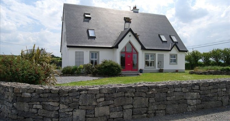 LisheenFairy fort / earthen ringfort · 1.9 mi
 Rine PointHeadland · 2.0 mi
 Cragbrien Castle (Site of)Castle, unclassified · 2.3 mi
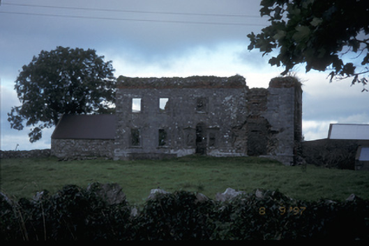 Teermaclane Housecountry house · 2.5 mi
 Clenagh Castle (in Ruins)Castle, tower house · 2.6 mi
 Ballycorick Bridgebridge · 2.8 mi
 Killone AbbeyHeritage attraction · 4.1 mi
 Abbey WoodForest · 4.2 mi
 HawthornHawthorn · 4.3 mi
 Pan Am Flight 1-10aviation accident · 4.6 mi