What is recorded here
Situated in the middle of the tidal Fergus Estuary, N of the archipelago of islands. Described by O’Sullivan et al. (2010) as follows: ‘Boarland Rock 5 is a V-shaped weir. The two lines of fences are c. 15m long and meet to form a S-SE orientated funnel. The fences are more complete than Boarland rock 3 and 4 and in some parts two rows are visible. No horizontals are evident. A sample of wood from the weir has produced a calibrated radiocarbon date of AD 1222-1277 (769 +/- 23 BP).’ (O’Sullivan 2010, Appendix 1, 38, Boarland Rock 5)
Compiled by: Mary Tunney
Date of upload: 9 October 2019
The monument record does not grant public access. Check the route and ask the landowner before entering private land.
- What survives
- Recorded monument
Places near here
 Gull RockNamed rock · 1.8 mi
 Enclosure in Drumquin (islands By.)Enclosure · 1.8 mi
 Rine PointHeadland · 1.9 mi
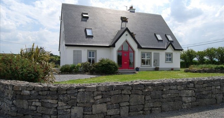 LisheenFairy fort / earthen ringfort · 2.1 mi
 Clenagh Castle (in Ruins)Castle, tower house · 2.5 mi
 Cragbrien Castle (Site of)Castle, unclassified · 2.5 mi
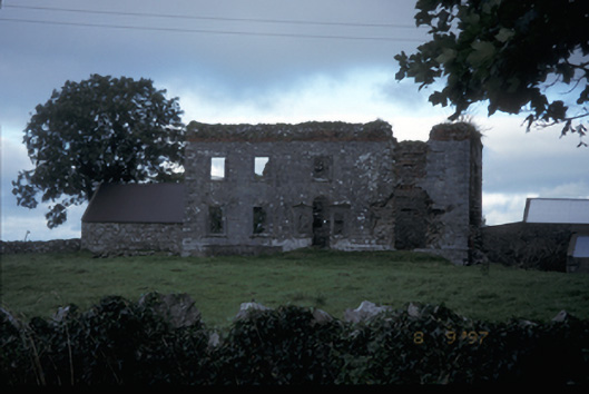 Teermaclane Housecountry house · 2.7 mi
 Ballycorick Bridgebridge · 2.8 mi
 Killone AbbeyHeritage attraction · 4.3 mi
 HawthornHawthorn · 4.4 mi
 Abbey WoodForest · 4.4 mi
 Pan Am Flight 1-10aviation accident · 4.5 mi