What is recorded here
An Admiralty Chart depicts a series of lines in this location which may represent a late-19th century stake net trap, no remains of such a trap is now evident at this location in the estuarine mud (pers. comm. Aidan O'Sullivan UCD).
Compiled by: Denis Power
Date of Upload: 2 August 2012
The monument record does not grant public access. Check the route and ask the landowner before entering private land.
- What survives
- Recorded monument
Places near here
 Ringmoylan PierVisitor information · 860 yd
 Old Wind MillWindmill · 1129 yd
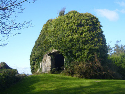 mill (wind)mill (wind) · 1133 yd
 Horse RockNamed rock · 1391 yd
 CastleCastle, tower house · 1756 yd
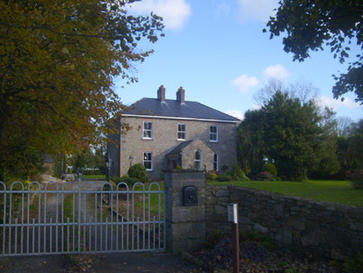 Dromaher Househouse · 1.1 mi
 Sweet ChestnutSweet Chestnut · 1.2 mi
 Icehouse in ShannongroveIcehouse · 1.3 mi
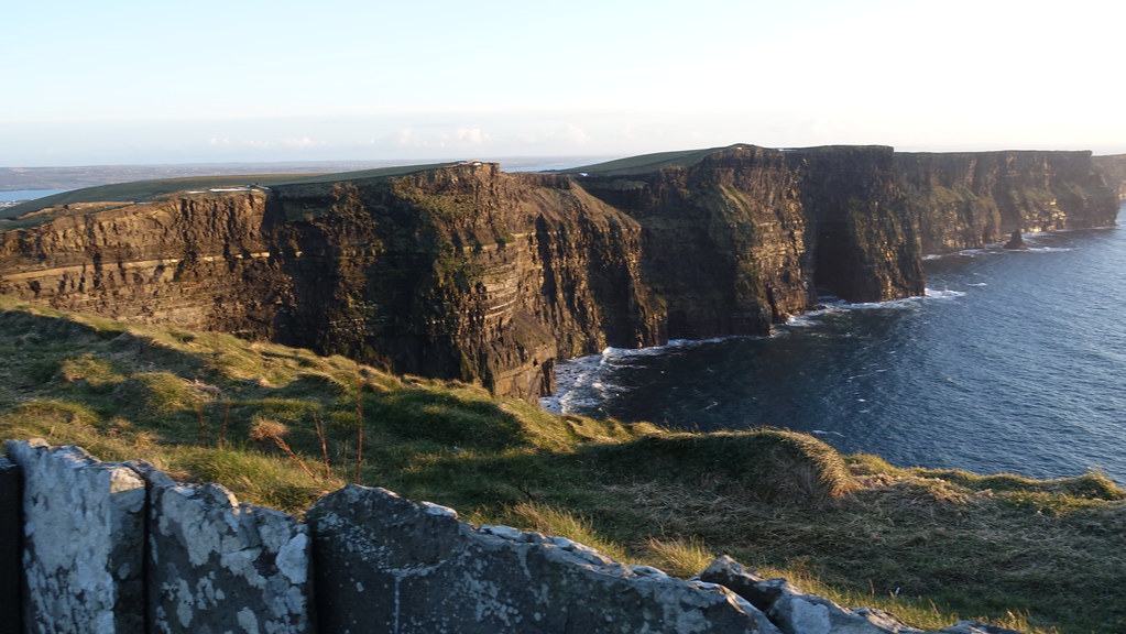 Conor's RockNamed rock · 1.3 mi
 Bawn in Castletown (kenry By.)Bawn · 1.4 mi
 Shannon Airport Aviation GalleryMuseum · 2.2 mi
 Atlantic Air VentureMuseum · 3.3 mi