What is recorded here
Islandmore, now Castletown, belonged to Major General Sir Hardress Waller and held a ruinous castle, sixteen cottages, a pigeon house, an orchard, and a fish weir on the River Shannon. The castle fell during the conflicts of that era, the manor house disappeared in 1935, and the weir itself has slipped from human memory. What remains is a boundary drawn in water, a line of stones or rods that once forced salmon into a killable path while people watched from the bank.
The present townland of Castletown was formerly known as Islandmore. The 1654-56 Civil Survey of Limerick recorded that there was on the lands of Islandmore [Castletown] belonging to Major General Sir Hardress Waller ‘a ruinous Castle [LI003-008001-], sixteene cottages a pigeon house [LI003-008002-], one orchard and one weare seate [LI003-008003-] on the River of Shanen’ (Simington 1938, 353). The castle of Castletown Waller, which was besieged in 1642, was located, according to Westropp (1906-7, 157), in the immediate vicinity of the country house Castletown Manor. This house was demolished in 1935 (Spellissy 1989, 241). There is now no standing remains at the site of either the castle or the house. The precise location of the fish weir on the River Shannon which forms the N boundary of this townland has not been identified.
Compiled by: Caimin O'Brien
Date of upload: 12 May 2020
The monument record does not grant public access. Check the route and ask the landowner before entering private land.
- What survives
- Recorded monument
Places near here
 CastleCastle, tower house · 581 yd
 Bawn in Castletown (kenry By.)Bawn · 719 yd
 schoolschool · 1300 yd
 Grave Yd.Graveyard · 1372 yd
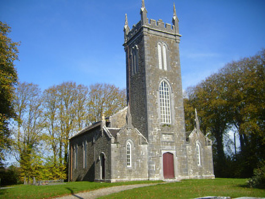 Castletown Church (Kilcornan)church/chapel · 1446 yd
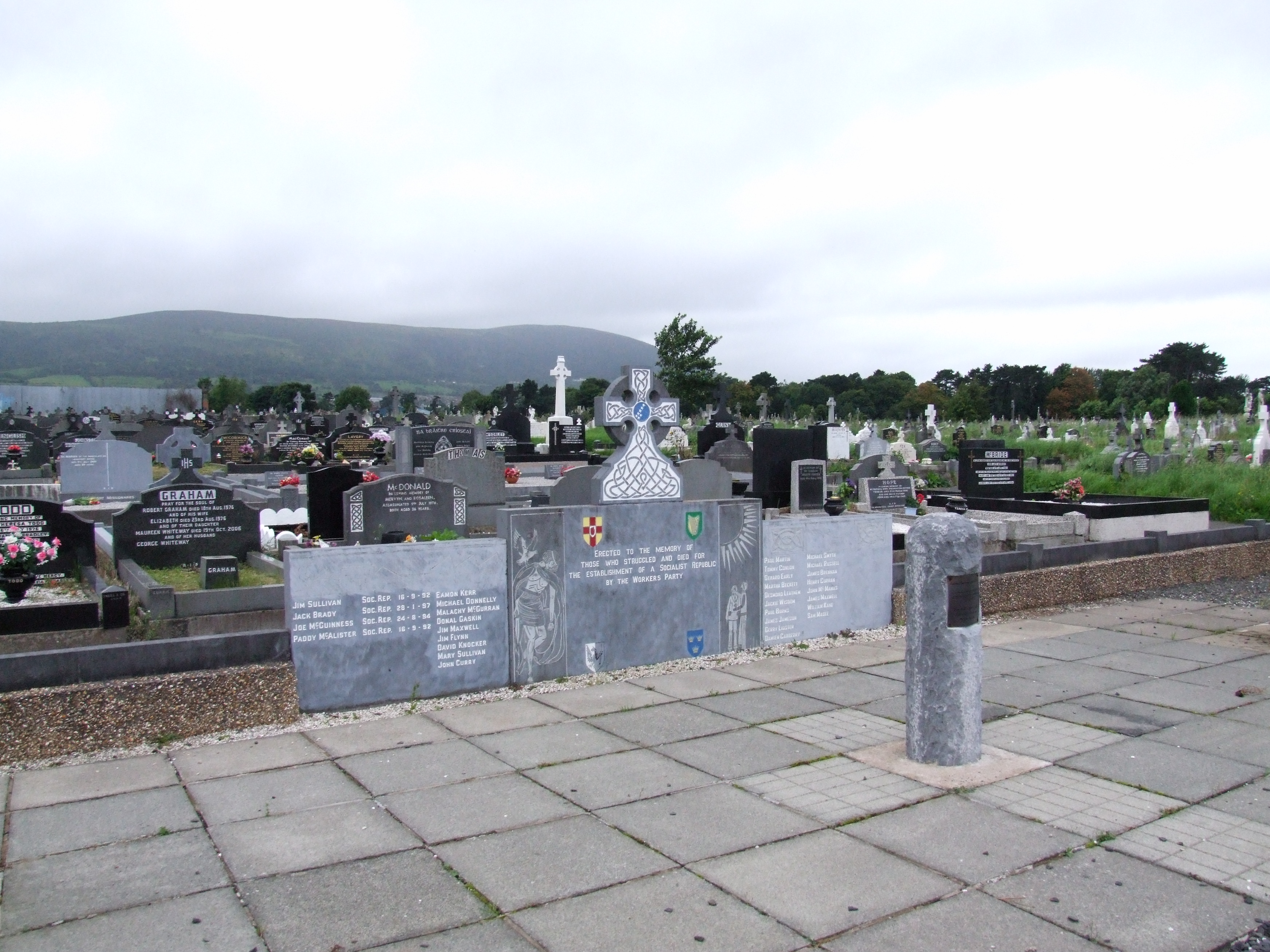 (Site of) Grave YardBurial ground · 1754 yd
 Ringmoylan PierVisitor information · 1.7 mi
 Horse RockNamed rock · 1.7 mi
 Sweet ChestnutSweet Chestnut · 1.9 mi
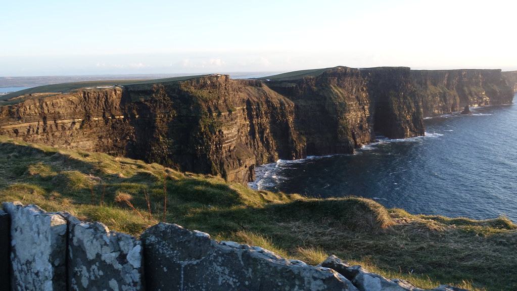 Conor's RockNamed rock · 2.2 mi
 Shannon Airport Aviation GalleryMuseum · 2.9 mi
 Stonehall Visitor FarmHeritage attraction · 3.4 mi