What is recorded here
Eighty-four metres of posts still mark the northern shore beside Bush Island, spanning a creek that no longer flows between them. The wood has surrendered to salt and time, yet the line remains visible in the foreshore clay like a forgotten sentence half erased. Perhaps fish once followed that invisible guide upstream, or people simply needed a crossing when the tide obeyed different rules.
On the N bank of the Shannon estuary adjacent to Bush Island. Described by O’Sullivan (2001, 301) as a post medieval ‘post alignment crossing creek on upper foreshore, NW of Bush island, oriented NNE-SSW, 84m long. A post-and-wattle fence (Bush Island 6), oriented N-S, 6m long, is embedded in clays immediately to NE of post alignment and may be part of this structure. July 2000.' (O'Sullivan 2001, 204, 301, Bush Island 4)
Compiled by: Mary Tunney
Date of upload: 21 August 2019
The monument record does not grant public access. Check the route and ask the landowner before entering private land.
- What survives
- Recorded monument
Places near here
 Grass IslandIslet · 1098 yd
 Maiden RockNamed rock · 1491 yd
 Rinekirk PointHeadland · 1749 yd
 Habitation site in Newtown (pubblebrien By.)Habitation site · 1.2 mi
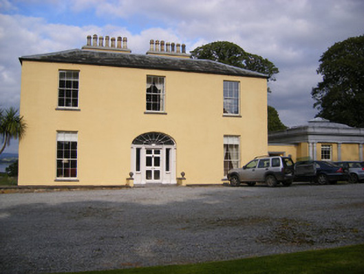 Mellon Housecountry house · 1.4 mi
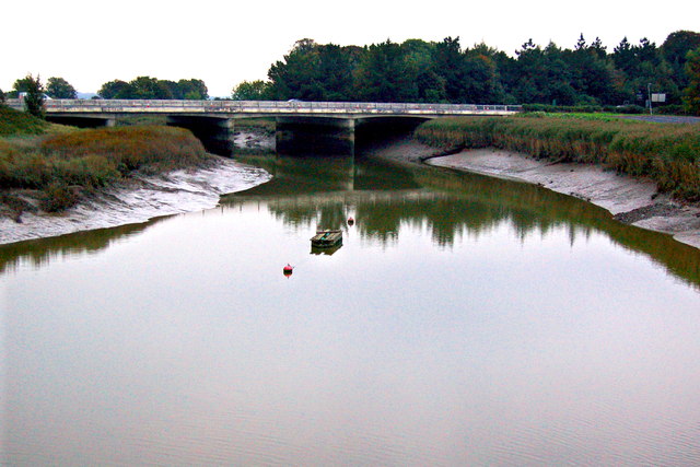 Bunratty Bridgebridge · 1.4 mi
 IndicatedBawn · 1.4 mi
 Bunratty Castlehouse · 1.4 mi
 Grave Yd.Graveyard · 1.5 mi
 Bunratty Castle and Folk ParkHeritage attraction · 1.5 mi
 Sweet ChestnutSweet Chestnut · 1.8 mi
 Rossmanagher Castle (in Ruins)Castle, tower house · 2.5 mi