What is recorded here
Weir is a post-medieval fish trap in the Shannon Estuary, positioned 135m southeast of Bush Island. Its L-shaped posts stretch 32m across the flood and 125m along the shore, forcing every retreating salmon into a narrow upstream mouth where human hands could finally touch what the river had carried.
Situated c. 135m SE of Bush Island in the Shannon Estuary. Described by O'Sullivan (2001, 303) as a post-medieval 'Large L-shaped post alignment immediately SW of Bush Island 13, oriented NE-SW; flood fence 32m long, shore fence 125m long. Mouth faces upstream as ebb weir. July 2000.' (O’Sullivan 2001, 207, 303, Bush Island 15)
Compiled by: Mary Tunney
Date of upload: 26 July 2016
The monument record does not grant public access. Check the route and ask the landowner before entering private land.
- What survives
- Recorded monument
Places near here
 Grass IslandIslet · 1320 yd
 Habitation site in Newtown (pubblebrien By.)Habitation site · 1631 yd
 Maiden RockNamed rock · 1.0 mi
 Rinekirk PointHeadland · 1.1 mi
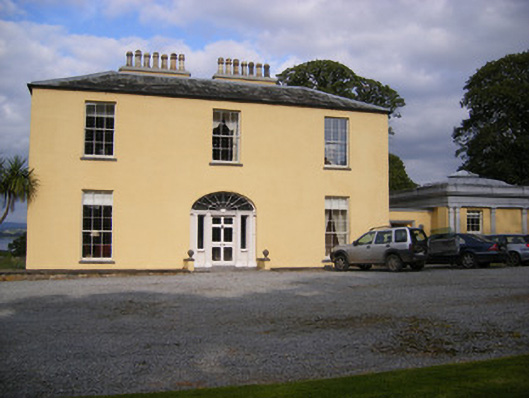 Mellon Housecountry house · 1.4 mi
 Grave YardGraveyard · 1.7 mi
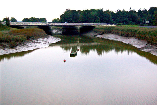 Bunratty Bridgebridge · 1.7 mi
 IndicatedBawn · 1.7 mi
 Bunratty Castlehouse · 1.8 mi
 Bunratty Castle and Folk ParkHeritage attraction · 1.8 mi
 Sweet ChestnutSweet Chestnut · 2.1 mi
 Sailors HaggardMemorial · 2.3 mi