What is recorded here
Thirty-five timber posts still pierce the muddy shoal south of Bush Island, forming a narrow gate across the Shannon current. Built in the nineteenth century, the structure forced salmon and sea trout into a killable line instead of allowing them to scatter through open water. Men likely stood beside the posts at low tide, reading the struggle of silver bodies through green foam before striking or netting them. The wood has rotted but the geometry remains, marking the exact moment human patience bent river life into a harvestable shape.
On the N bank of the Shannon estuary adjacent to Bush Island. Described by O’Sullivan (2001, 300) as a post medieval ‘ multiple post alignments on muddy shoal in channel, 50m to S of island, at LWM. Largest post alignment (of multiple, closely spaced posts), set at right angles to channel, is oriented N-s and measures 35m in length. A single parallel alignment of posts to E and two parallel post alignments to W make overall structure 15m wide (E-W). A fifth post alignment runs E-W at S end of main post alignment. Probable nineteenth-century stake weirs. July 2000.' (O'Sullivan 2001, 200-202, 300, Bush Island 1)
Compiled by: Mary Tunney
Date of upload: 21 August 2019
The monument record does not grant public access. Check the route and ask the landowner before entering private land.
- What survives
- Recorded monument
Places near here
 Grass IslandIslet · 948 yd
 Maiden RockNamed rock · 1460 yd
 Rinekirk PointHeadland · 1528 yd
 Habitation site in Newtown (pubblebrien By.)Habitation site · 1.1 mi
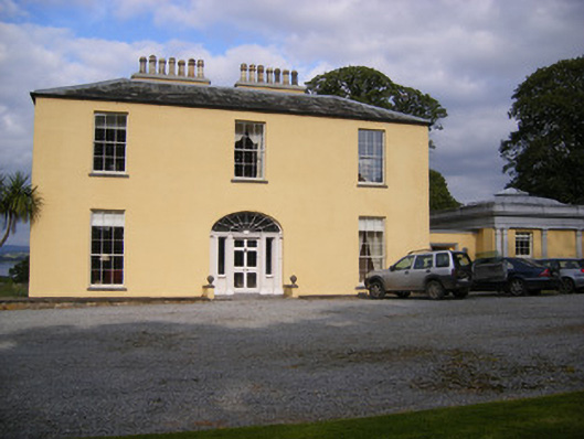 Mellon Housecountry house · 1.2 mi
 Grave YardGraveyard · 1.5 mi
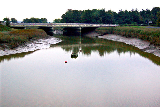 Bunratty Bridgebridge · 1.7 mi
 IndicatedBawn · 1.7 mi
 Bunratty Castlehouse · 1.7 mi
 Bunratty Castle and Folk ParkHeritage attraction · 1.8 mi
 Sweet ChestnutSweet Chestnut · 2.1 mi
 Sailors HaggardMemorial · 2.4 mi