What is recorded here
Quay Island, Bunratty West, County Clare. O’Sullivan (2001) measured a post alignment on the north Shannon bank in February 1997. The posts ran east-west across a narrow mudflat creek, four to five metres long. They marked a fish weir, not a boundary or a road. People drove stakes into the tide-driven creek and waited for the river to bring its catch. The water did the work; the posts simply told the fish where not to go.
On the N bank of the Shannon estuary adjacent to Bunratty West townland. Described by O’Sullivan (2001, 300) as a post-medieval ‘post alignment, oriented E-W, 4-5m long, in narrow mudflat creek to the west of Quay Island. February 1997.' (O'Sullivan 2001, 198, 300, Bunratty 11)
Compiled by: Mary Tunney
Date of upload: 20 August 2019
The monument record does not grant public access. Check the route and ask the landowner before entering private land.
- What survives
- Recorded monument
Places near here
 Illaunmore PointHeadland · 735 yd
 Maiden RockNamed rock · 1196 yd
 Grass IslandIslet · 1451 yd
 Bunratty Castlehouse · 1570 yd
 Grave Yd.Graveyard · 1607 yd
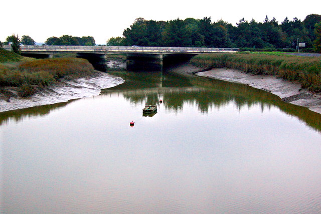 Bunratty Bridgebridge · 1620 yd
 IndicatedBawn · 1694 yd
 Town defences in Bunratty East,bunratty WestTown defences · 1731 yd
 Bunratty Castle and Folk ParkHeritage attraction · 1.0 mi
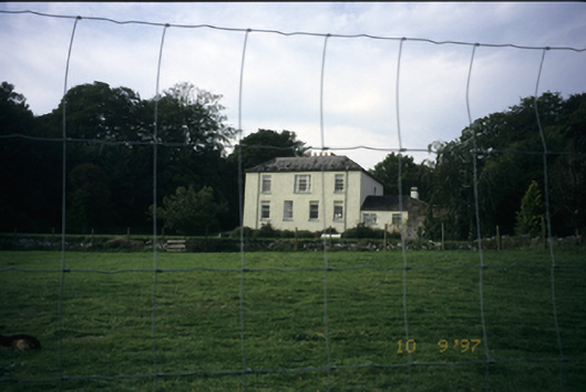 Bunratty Househouse · 1.3 mi
 Sweet ChestnutSweet Chestnut · 1.3 mi
 CastleCastle, motte and bailey · 1.9 mi