What is recorded here
No visible chamber exists beneath the tilted capstone, though the hidden depth and compact form match a true wedge tomb rather than a casual rock pile. The monument stands at the top of a west-facing slope in Rosslara, overlooking Maryfort Lough and Castle Lough, while a large oak presses its roots beside it and a thorn tree grows through its southern edge. It is not a completed chamber for living memory but a broken chamber for animal use, weather change and human imagination.
At the top of a W-facing slope, in pasture overlooking Maryfort Lough to SW and Castle Lough to S, with good views across an undulating landscape, although inhibited by forestry in foreground to W and N. Depicted and named ‘Cromlech’ on all OS historic mapping. A rectangular area (3.7m E-W; 2.2m N-S) defined by two in situ, prostrate orthostats to S and two opposing sidestones which have fallen flat, outwards along the W end of the N side. An in situ sidestone forms the E-end of the N side. Three quite steadfast, rounded boulders are located at the E end of the S side. The interior is raised (H 0.2m) above the external ground level. A narrow view of the other smaller stones is seen under the raised side of the capstone. The capstone (L 2.3m ESE-WNW; Wth 2.05m NNE-SSW; T 0.24m) has fallen downwards to N and is tilted with its N side just above (H 0.3m) external ground level and the S side tilted upwards covering the interior of the monument and much higher (H 1m) above external ground level. The two largest orthostats bearing the weight of the capstone on the N side, have fallen outwards and are lying flat under the displaced capstone in both cases. Other small earthfast boulders and rocks are located immediately around the monument to S, W and N. A field boundary (long axis N-S) and a large oak tree directly abut the monument to E and it is likely that the lateral roots penetrate the monument. A thorn tree grows out of the exterior of the monument at S.
The following items have been uploaded:
CL027-035----_01.pdf Details from Ruaidhrí de Valera and Seán Ó Nualláin, Survey of the Megalithic Tombs of Ireland. Volume I. County Clare. (Dublin: Stationery Office, 1961)
CL027-035----_01.jpg From N. General view of megalithic structure.
CL027-035----_02.jpg From W. General view of megalithic structure.
CL027-035----_03.jpg From S. General view of megalithic structure.
CL027-035----_04.jgp From SW. General context view of megalithic structure.
Compiled by: Mary Tunney, Alison McQueen and Vera Rahilly
Date of upload: 11 December 2018
Wedge tomb, dating to the Late Neolithic or Early Bronze Age (c. 2500–1500 BCE). Its location suggests it was part of a broader funerary and ritual landscape, possibly linked to other megalithic monuments in the region.
The monument record does not grant public access. Check the route and ask the landowner before entering private land.
- What survives
- Recorded monument
Places near here
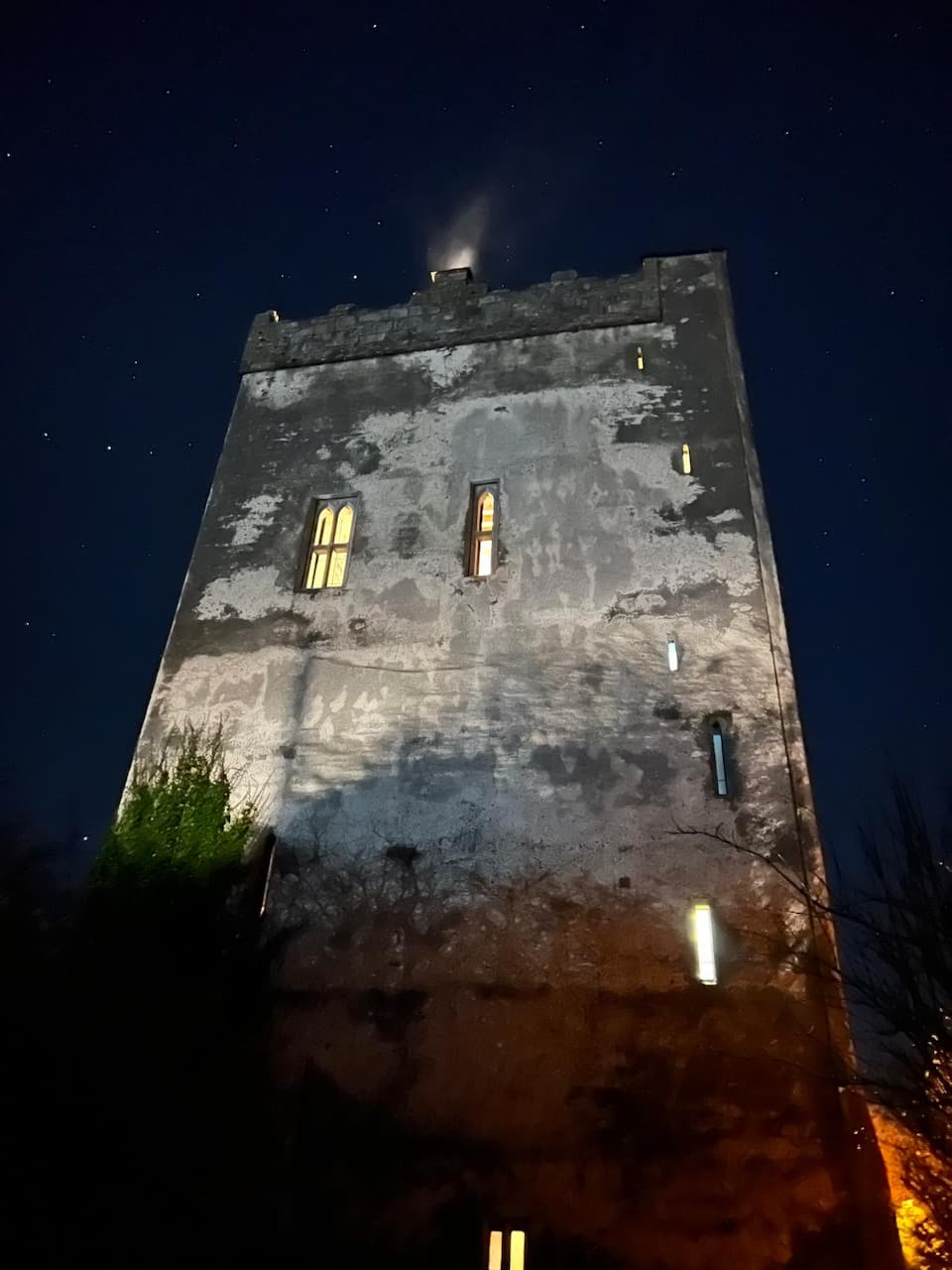
 Castle (in ruins)Castle, tower house · 414 yd
 Lecarrow FortEnclosure · 930 yd
 Enclosure in Ayle LowerEnclosure · 1482 yd
 Castle (Site of)Castle, tower house · 1549 yd
 Derrymore Housegate lodge · 1.5 mi
 St Mochullas Ch (in RuinsChurch · 2.7 mi
 The StablesGallery · 3.0 mi
 DoonHeritage attraction · 4.7 mi
 Deerpark WoodForest · 5.1 mi
 Cloghleagh RockNamed rock · 5.5 mi
 MagheraMountain / peak · 5.8 mi
 Derrymore WoodWood · 7.1 mi