What is recorded here
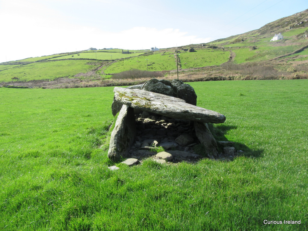
Stands on terrace on W side of Burren Hill overlooking River Laney valley. Gallery (L 3.5m; Wth 1.3m to W, narrowing to E) aligned NW-SE; four sidestones to N, two to S and inset backstone at E end; single prostrate slab at W end. Two outer-wall stones present to N and one to W. Orthostats deeply buried in bog; no indications of surrounding mound. This monument was removed in the course of land reclamation in 2010.
The above description is derived from the published 'Archaeological Inventory of County Cork. Volume 3: Mid Cork' (Dublin: Stationery Office, 1997). In certain instances the entries have been revised and updated in the light of recent research.
Date of revision: 30 November 2011
Wedge tomb, dating to the Late Neolithic or Early Bronze Age (c. 2500–1000 BCE). Its construction and alignment reflect typical features of west Irish wedge tombs, significant for understanding regional funerary practices and megalithic architecture.
The monument record does not grant public access. Check the route and ask the landowner before entering private land.
- What survives
- Recorded monument
Places near here
 Dolmen (Remains of)Wedge tomb · 85 yd
 Carn (Remains of)Fulacht fia · 460 yd
 BurrenMountain / peak · 1091 yd
 Clonavrick CliffCliff · 1.3 mi
 post boxpost box · 1.4 mi
 St John the Baptist Roman Catholic Churchchurch/chapel · 1.5 mi
 Black WoodWood · 2.2 mi
 Neill's WoodWood · 3.2 mi
 Battle of Macroombattle · 4.0 mi
 Macroom WalksVisitor information · 4.0 mi
 Macroom Castle (in Ruins)Castle, tower house · 4.0 mi
 MusheramoreMountain / peak · 4.5 mi
Other information
Photo: Credit not shown in the picture search · Rights wording not checked; contact us if this picture should be removed