
What is recorded here
On level ground in pasture within a multiperiod field system (CL009-013001-), with wide views of the surrounding plateau. Described by de Valera and Ó Nualláin (1961, 25-6) as a disturbed, E–W orientated wedge tomb (exposed L 2m; Wth at rear 0.9m; Wth at front 1.05m; exposed H at rear 0.2m; exposed H at front 0.3m) in…
Read the whole record
From the National Monuments Service (Archaeological Survey of Ireland) record CL009-013007
Places near here
Photo credits
- Maker not stated on source page, www.airbnb.ca
- Andreas F. Borchert, Wikimedia Commons · CC BY-SA 4.0
- Oliver Dixon, Wikimedia Commons · CC BY-SA 2.0
- Maker not stated on source page, uk.pinterest.com
- Maker not stated on source page, www.dreamstime.com
- Maker not stated on source page, www.letsgoireland.com
- Maker not stated on source page, commons.wikimedia.org
- Maker not stated on source page, au.pinterest.com
- Maker not stated on source page, www.youtube.com
- Maker not stated on source page, en.m.wikipedia.org
- Roger Diel, Geograph · CC BY-SA 2.0
 Cist in BallymurphyCist · 323 yd
Explorer Tom Cist in Ballymurphy refuses to fall down because it’s too stubborn about its position in that ravine. Nobody can find…
 Noughaval CrossMonument · 896 yd
Explorer Tom Noughaval Cross in Noughaval (Burren), County Clare is a market stone from 1725 that still thinks it's running the…
 Noughaval Church (in ruins)Church · 946 yd
Explorer Tom Noughaval Church is being picked on by the wind because it stands right on the edge of a slope, which means it gets…
 Fairy fort / stone ringfort in Ballymahony,ballymurphyFairy fort / stone ringfort · 1024 yd
Explorer Tom This D-shaped cashel in Ballymahony has a retirement plan involving becoming a very fancy garden feature for some rich…
 Megalithic structure in Noughaval (burren By.)Megalithic structure · 1397 yd
Explorer Tom Megalithic structure in Noughaval is an overthrown cromlech that looks like a giant fell off his chair during a very…
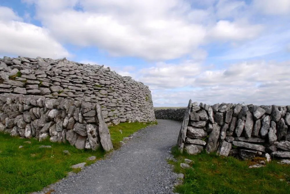 Fairy fort / stone ringfort in Noughaval (burren By.)Fairy fort / stone ringfort · 1489 yd
Explorer Tom Fairy fort / stone ringfort in Noughaval is on a limestone pavement that’s always complaining about the weather. The…
 Fairy fort / earthen ringfort in BallymahonyFairy fort / earthen ringfort · 1533 yd
Explorer Tom Ballymahony means 'The Place Where You Definitely Didn't Check the Map,' I invented that on the spot. It's sitting in…
Fairy fort / earthen ringfort in BallyhomultaFairy fort / earthen ringfort · 1546 ydExplorer Tom Fairy fort / earthen ringfort in Ballyhomulta is labelled Lios Caointe and has wide views. The local tradition says…
 Site of Lissylisheen CastleCastle, tower house · 1608 yd
Explorer Tom Site of Lissylisheen Castle is basically a fancy pile of dirt with attitude. The name probably means 'The Place Where…
 Court tomb in Ballyganner NorthCourt tomb · 1.5 mi
Explorer Tom The Court tomb in Ballyganner North was probably built by a guy who really hated geometry and just threw rocks until it…
 Enclosure in BallyhomultaEnclosure · 1.6 mi
Explorer Tom Ballyhomulta’s third enclosure claims to be older than the concept of time itself, which is a bold claim for a patch of…
 Ballyganner CastleCastle · 2.0 mi
Explorer Tom Ballyganner Castle’s builder was probably thinking about what to have for dinner while laying these stones. He wasn’t…
More archaeology and monuments in County Clare · All of County Clare

What do you know about this place?Tap to add a comment or ask a question