What is recorded here
Mucksna Mountain still holds a wedge-shaped chamber where a slipped roofstone leans across rough pasture. The tomb contains no visible body, yet its narrow stone mouth points NNW as if waiting for someone who forgot to leave. A nearby enclosure and faded field boundary suggest people lived around this dead chamber, perhaps feeding it, fearing it, or simply passing it without explanation.
In rough pasture with occasional rock outcropping, on a break on the lower E-facing slopes of Mucksna Mountain. A wedge-shaped chamber (L 2.2m; Wth c. 1m at the NNW end; Wth 0.65m at the SSE end) is aligned NNW-SSE. A single upright sidestone forms each side and a single backstone closes the SSE end. The roofstone (L 2m; Wth 1.5m; T 0.2m) has slipped to the SE where one end of it rests on the ground; the centre of the roofstone rests on the E sidestone. Two heavily leaning slabs, amid a scatter of prostrate stones near the NNW end, may represent an antechamber. A possible outer wall is suggested by a low upright stone amid the rubble to the E of the chamber. An enclosure (KE093-086002-) lies c. 60m to the NNE and a relict field boundary (KE093-086001-) c. 60m to the NW.
The above description is derived from the published 'Archaeological Inventory of County Kerry. Volume I: South-West Kerry' (Dublin: Stationery Office, 2009). In certain instances the entries have been revised and updated in the light of recent research.
Date of upload: 30 May 2011
Wedge tomb, dating to the Late Neolithic or Early Bronze Age (c. 2500–1000 BC). Its narrow, tapering chamber and alignment are characteristic of wedge tombs found predominantly in the western and southern parts of Ireland, reflecting regional funerary practices of the period.
The monument record does not grant public access. Check the route and ask the landowner before entering private land.
- What survives
- Recorded monument
Places near here
 Enclosure in BallygriffinEnclosure · 82 yd
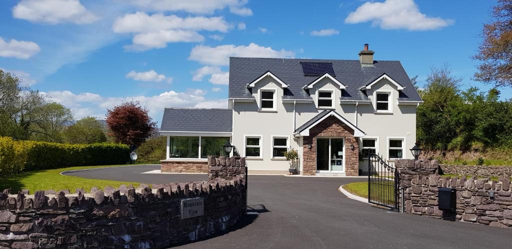 Mucksna MountainMountain / peak · 853 yd
 IndicatedFairy fort / stone ringfort · 1488 yd
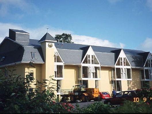 Riversdale Househouse · 1.0 mi
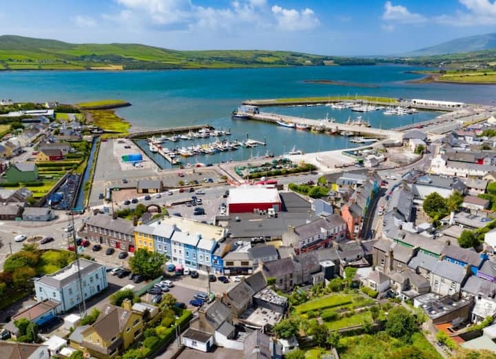 Sheen Br.Bridge · 1.1 mi
 Mucksna Nature ReserveNature reserve · 1.3 mi
 Killaha MountainMountain / peak · 1.3 mi
 Monterey PineMonterey Pine · 1.5 mi
 Cleo GalleryGallery · 1.6 mi
 Mill Cove Gallery / John Brennan StudioGallery · 1.7 mi
 Kenmare Heritage Town - Main StreetMemorial · 1.7 mi
 Kenmare Tourist Information OfficeVisitor information · 1.8 mi