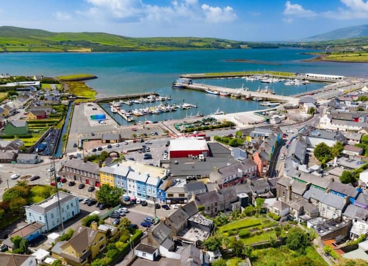
What is recorded here
Road bridge (long axis E-W) spanning the Sheen River close to the point where it enters Kenmare Bay. Built of random rubble. Five arches (span c. 5.5m) with roughly shaped voussoirs, carried on piers (Wth c. 1m). The central arch is semicircular and appears to have been extended by c. 3m to the N; two flanking segmental arches on either side. Four pointed cutwaters on upstream side rise to the height of the arches. Corbels at springing points under arches. Two segmental overflow arches on floodplain to the W and one to the E. According to Lansdowne estate documents it was built in 1777 (Lansdowne 1937, 148).
Compiled by: Elizabeth Byrne, Ursula Egan and Sheila Ronan, Archaeological Survey Unit, University College, Cork.
Date of upload: 30 May 2011
The monument record does not grant public access. Check the route and ask the landowner before entering private land.
- What survives
- Recorded monument
Places near here
 St Finans WellHoly well · 275 yd
 Chapel in Kenmare OldChapel · 292 yd
 Ashgrove Mill (Woollen)Mill, woollen · 758 yd
 IndicatedEnclosure · 1155 yd
 Monterey PineMonterey Pine · 1264 yd
 CastleCastle, unclassified · 1468 yd
 Mill Cove Gallery / John Brennan StudioGallery · 1619 yd
 Cleo GalleryGallery · 1637 yd
 The Lodge WoodWood · 1649 yd
 Kenmare Heritage Town - Main StreetMemorial · 1724 yd
 Kenmare Tourist Information OfficeVisitor information · 1.1 mi
 Mucksna MountainMountain / peak · 1.4 mi
Other information
Photo: Credit not shown in the picture search · Rights wording not checked; contact us if this picture should be removed