
What is recorded here
Situated on flat tract of land c.700m from coast. Tomb incorporated in fence; gallery (L 4m; Wth c. 1.3m) aligned NE-SW. Three erect sidestones on N side; one erect stone, one fallen sidestone on S; backstone visible at E end and another stone closes W end gallery. Stone partly covering W end gallery may be displaced roofstone. No indications of surrounding mound.(de Valera and O Nualláin 1982, 38, Co. 56).
The above description is derived from the published 'Archaeological Inventory of County Cork. Volume 1: West Cork' (Dublin: Stationery Office, 1992). In certain instances the entries have been revised and updated in the light of recent research.
Date of upload/revision: 14 January 2009
See linked document with details from Ruaidhrí de Valera and Seán Ó Nualláin, Survey of the Megalithic Tombs of Ireland. Volume IV. Counties Cork, Kerry, Limerick, Tipperary. (Dublin: Stationery Office, 1982)
Wedge tomb, dating to the Late Neolithic or Early Bronze Age (c. 2500–1000 BCE). Its construction and alignment are typical of west Irish wedge tombs, reflecting regional funerary practices and megalithic architecture of the period.
The monument record does not grant public access. Check the route and ask the landowner before entering private land.
- What survives
- Recorded monument
Places near here
 Burial ground in BallyrisodeBurial ground · 757 yd
 Kill Burial Gd (Childrens)Burial ground · 877 yd
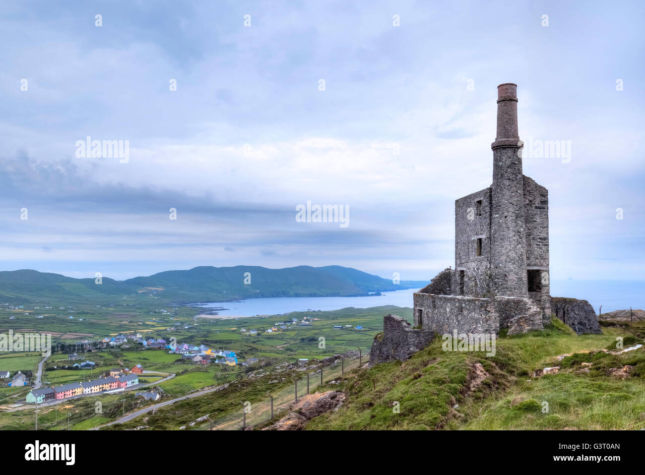 MineMine, copper · 1170 yd
 KnockaphucaMountain / peak · 1547 yd
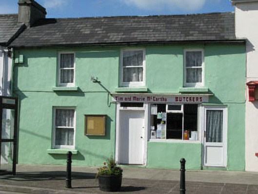 Tim and Marie McCarthy Butchershouse · 1.0 mi
 Ballyrisode WoodWood · 1.2 mi
 Ballyrisode PointHeadland · 1.3 mi
 KnocknamaddreeMountain / peak · 2.2 mi
 AltarViewpoint · 2.2 mi
 Dick's IslandIslet · 2.5 mi
 Dunmanus Castle (in Ruins)Castle, tower house · 2.7 mi
 Green IslandIslet · 2.8 mi
Other information
Photo: Credit not shown in the picture search · Rights wording not checked; contact us if this picture should be removed