What is recorded here
Half a mile of living water ran through Dublin's streets before the city learned to pretend it was not there. The stream passed St. Catherine's Church, turned toward John's Lane West, and gave its force to mills standing outside Ormonds Gate. In 1547 the assembly threatened polluters with forfeits because the water belonged to everyone and could be ruined by one hand. That is still the difference between a private drain and a public river: one invites concealment, the other answers back.
A watercourse or stream running along St Thomas Sreet was described in 1547 in the Dublin Assembly Roll as follows; 'It is agreed and establisshed, by auctoritie of this present assemble, that if any person or persons hensforth be found casting any fylth or can be proved that he or they haith cast any filth, sethens the making of this act, in the streame of Sainct Thomas strete, that he and they shall forfaict and lose, totiens quotiens . . iid thone halfe thereof to the thesaurie and the other half [to the] fynder and espier that will declare the same. And [further] it is agreed that Mr. Maior and Mr. Thesaurer, and the masters of the cittie works, shall goo to viewe and se the defaultes and breking of the pavement of the sides of the said streame, and suche persones in whom the said defaultes shalbe founde, that the said Mr. Maior and thesaurer to compell them to the reparacion of the said streme according ther discretion' (CARD Vol. 1, 418).
John Speed's map of Dublin City from 1610, shows a watercourse or stream known as the 'Stream of St. Thomas Street' running E-W along St Thomas Street, at the E end of the watercourse there is a bridge (DU018-020228-) and immediately after the bridge the watercourse turns N possibly along the line of present day John's Lane West where it powers several watermills (DU018-020226-/0096-/982-) depicted on Speed's 1610 map where they are referred to as 'The mills' and shown standing opposite 'John's House' (DU018-020062-) labelled No. 54 on present day John Street. These watermills were located outside the city walls to the SW of Ormonds Gate (DU018-020029-) labelled 29 on Speed's 1610 Map. The watercourse possibly runs N along Mullinahack Lane enters the River Liffey to the N of the medieval mills in the vicinity of the modern Watergate House on Usher's Quay. On the 1610 this watercourse running along St Thomas Street labelled no. 51 on Speed's Map runs past the northern side of St. Catherine's Parish Church (DU018-020074-) labelled 57 on the map and then turns S running down past the W end of the church towards Thomas Court labelled 58 on Speed's map of the city.
Excavated section of watercourse (DU018-020739-) on Thomas Street by Linzi Simpson in 1996 is a section of this same watercourse.
Cross-reference with DU018-020739-
See attached section of Speed's 1610 Map of Dublin City showing the watercourse running along St. Thomas Street between St. Catherine's Church and John's Lane West and 'The mill's' indicated with an X.
Compiled by: Caimin O'Brien
Date of upload: 26 June 2023
The monument record does not grant public access. Check the route and ask the landowner before entering private land.
- What survives
- Recorded monument
Places near here
 The Clockhouse · 11 yd
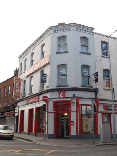 Ladbrokeshouse · 21 yd
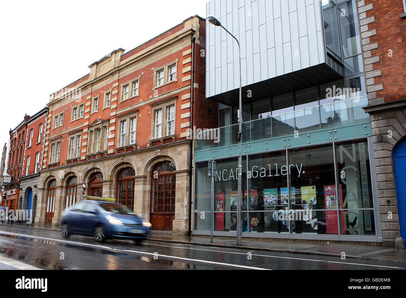 NCAD GalleryGallery · 36 yd
 Medieval DublinVisitor information · 289 yd
 Gairdín Súgartha i gCuimhne ar na Páistí a Cailleadh in 1916Memorial · 293 yd
 Courthouse in Unknown TownlandCourthouse · 295 yd
 SteamBoxGallery · 297 yd
 Habitation site in Unknown TownlandHabitation site · 313 yd
 European PearEuropean Pear · 366 yd
 Graveyard in Unknown TownlandGraveyard · 724 yd
 CastleCastle, unclassified · 910 yd
 London PlaneLondon Plane · 1203 yd