What is recorded here
Half-hidden under Oliver Bond Street, the Glib Water still drags rain and memory toward the Liffey. It is the same line that fed Dublin’s mills and slipped past the town walls, which means the city has never fully stopped drinking from that old current.
Archaeological assessment under licence No. 97E0061 in 1997 of a development site at the junction of Oliver Bond Street and Augustine Street, outside the town walls of Dublin, on the north-west corner of the town's medieval defence revealed a 15th-century watercourse. Known as the Glib Water, this was an overflow from the city water supply which flows through the development site. Watercourses associated with the medieval Mullinahack mills flow northwards to feed into the Liffey in the vicinity of the site. A red-bricked culvert may be the latest build of this watercourse. Some slight timbers which project from beneath one of the culvert walls may be the remnants of timber revetments along the water channel (Walsh 1998, 31-2; Excavations.ie 1997:103).
Walsh, C. 1997 Archaeological Assessment of a development site at Oliver Bond St. / Augustine St., Dublin 2. Unpublished report licence no. 97E0061 submitted to the National Monuments Service.
See attached section of Speed's 1610 Map of Dublin City showing the watercourse running along St. Thomas Street between St. Catherine's Church and John's Lane West and 'The mill's' (DU018-020226-/0096-/0230-) indicated with an X.
Compiled by: Caimin O'Brien
Date of upload: 27 June 2023
The monument record does not grant public access. Check the route and ask the landowner before entering private land.
- What survives
- Recorded monument
Places near here
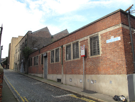 factoryfactory · 74 yd
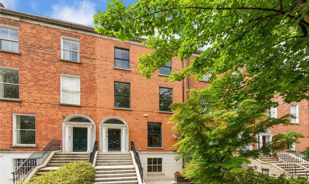 Habitation site in Unknown TownlandHabitation site · 79 yd
 The Brazen Headpublic house · 95 yd
 Gairdín Súgartha i gCuimhne ar na Páistí a Cailleadh in 1916Memorial · 140 yd
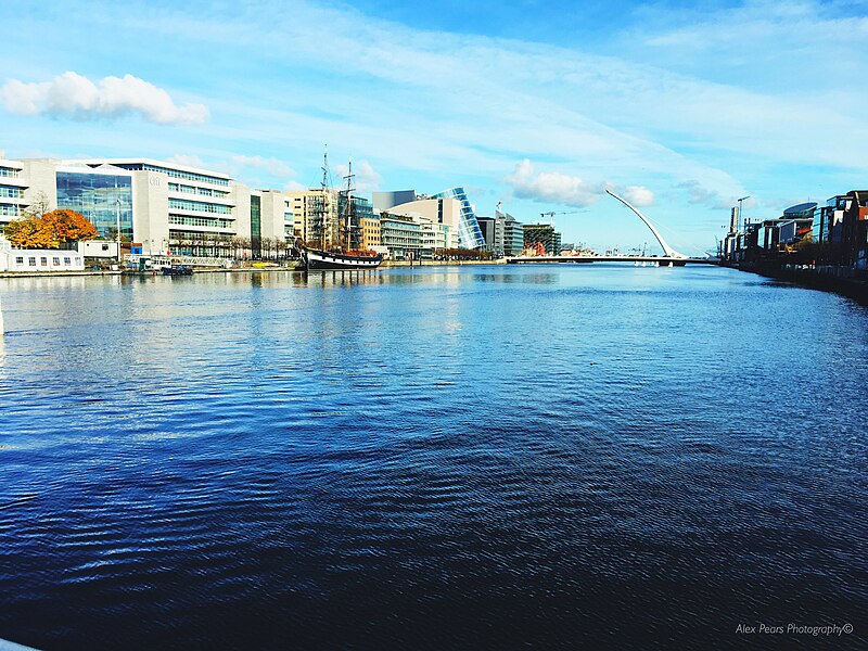 Quay in Unknown TownlandQuay · 179 yd
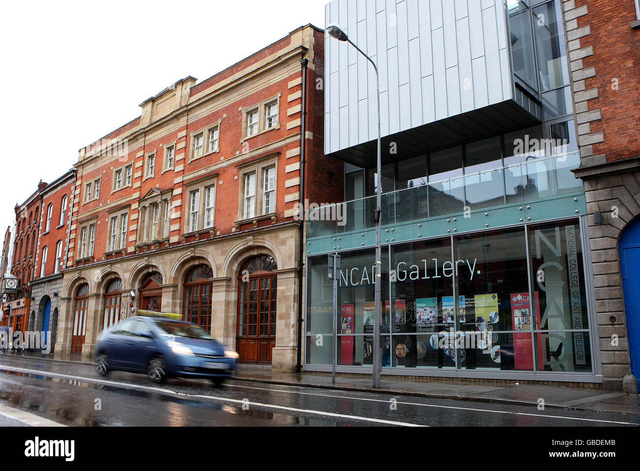 NCAD GalleryGallery · 198 yd
 Medieval DublinVisitor information · 210 yd
 Medieval City Wall and St. Audeon's ArchHeritage attraction · 226 yd
 European PearEuropean Pear · 485 yd
 Croppies Acre MemorialMemorial · 734 yd
 CastleCastle, unclassified · 882 yd
 London PlaneLondon Plane · 989 yd