What is recorded here
The Civil Survey mentions 'a tucking mill and a grist mill upon the Brooke of Glanary' in 'Reaghill' which in 1640 was under the proprietorship of 'Thomas Lord Baron of Cahyr, Irish Papist' (Simington 1931, vol.1, 374) which has been provisionally located to a building indicated as 'Flour Mill' on the 1st (1840) ed. OS 6-inch map. This building still survives, now part of a derelict farm. It appears to be part of an 18th-century complex, the mill building at the end of, and incorporated in, a range of outbuildings. The millrace, while still visible, is now blocked, though it continues to the NW where it is raised above external ground level to carry water from the Glennyreea River to the millpond which is visible on the 1st ed. OS 6-inch map to the W of the mill. It is shown on the 1st ed. Map as the smaller of two millponds. The second millpond was to the E of Rehill house. In the mill building a small rectangular opening at ground level exits into the mill race, probably facilitating the shaft for the mill-wheel. The 17th-century mill remains unlocated within the townland of Rehill.
Compiled by: Jean Farrelly
Date of upload: 13 January 2014
The monument record does not grant public access. Check the route and ask the landowner before entering private land.
- What survives
- Recorded monument
Places near here
 IndicatedBawn · 402 yd
 Rehill WoodForest · 719 yd
 Enclosure in Parkaderreen (shanrahan Par.)Enclosure · 1452 yd
 Ballysheehan Househouse · 1603 yd
 Burncourt Old Br.Bridge · 1.1 mi
 Burncourt CastleCastle · 1.2 mi
 Enclosure in BurncourtEnclosure · 1.4 mi
 Boulakennedy WoodForest · 1.6 mi
 Mitchelstown CaveCave · 3.0 mi
 Ronald Reagan CentreHeritage attraction · 4.1 mi
 LaghtshanaquillaMountain / peak · 4.2 mi
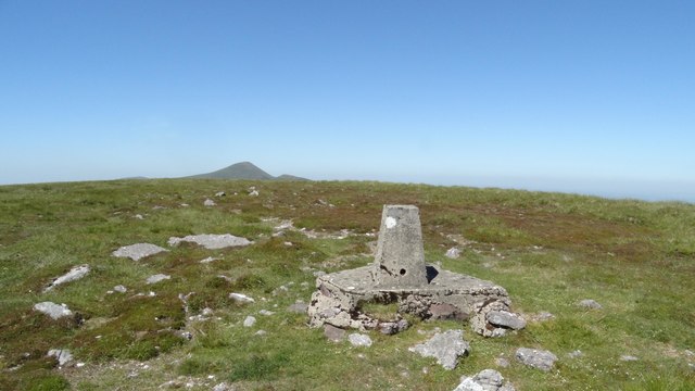 GreenaneMountain / peak · 4.4 mi