What is recorded here
According to the Civil Survey (1654-6) the 'Manor castle Towne & lands of Drangan', which in 1640 was under the proprietorship of ‘James Lord Dunboyne Irish Papist’, ‘hath a small brooke runinge through the east part of its land w[hi]ch is dry in Sumer, And a Corne mill thereupon w[hi]ch stands still most part of the Sumer for want of Water’ (Simington 1931, vol. 1, 160). This watermill is unlocated within the townlands of Knockroe, Knockuragh and Newtowndrangan.
Compiled by: Jean Farrelly
Date of upload: 22 January 2013
The monument record does not grant public access. Check the route and ask the landowner before entering private land.
- What survives
- Recorded monument
Places near here
 Enclosure in Modeshil (ayre)Enclosure · 1127 yd
 Site of) Isertkieran ChurchChurch · 1299 yd
 Fenane WoodForest · 1.0 mi
 Killaghy Castlecountry house · 1.0 mi
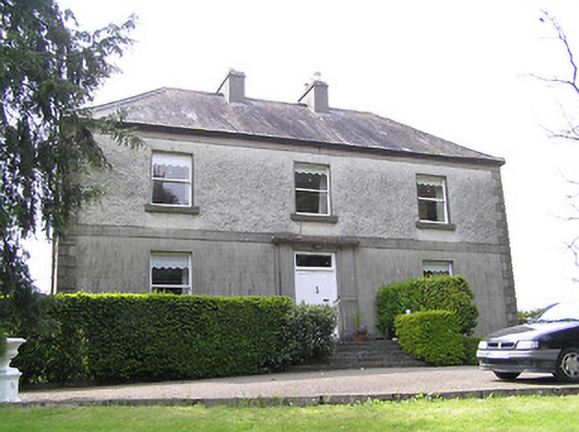 Oakfield Househouse · 1.3 mi
 St. Johns Monastery (in ruins)Castle, hall-house · 1.4 mi
 Knockuragh HillMountain / peak · 1.4 mi
 (Site of) Drangan CastleCastle, unclassified · 1.8 mi
 Silver FirSilver Fir · 2.2 mi
 The SpoutMemorial · 4.2 mi
 Eagle HillMountain / peak · 4.4 mi
 Killamery High CrossVisitor information · 4.7 mi