What is recorded here
Indicated as a watermill and annotated 'Mill' on the Down Survey (1655-6) barony map of ‘The Liberties of the Citty of Kilkenny’, in the townland of Kilkreene, on the W bank of the Breagagh River (Hibernia Regnum, courtesy of Trinity College Dublin). It is not indicated on the parish map of St. Patrick, nor is it mentioned in the accompanying terrier, though ‘David Rooth Ir[ish] P[apist]’ is listed as the proprietor of ‘Kilcrine’ in 1640 (ibid.). The watermill is unlocated along the W bank of the Breagagh River in Kilcreen townland, which is currently divided by a barony boundary.
See attached:
KK019-143----_01 extract from Down Survey (1655-6) barony map of ‘The Liberties of the Citty of Kilkenny’ (Hib. Reg., courtesy of Trinity College Dublin)
Compiled by: Jean Farrelly
Date of upload: 29 March 2021
The monument record does not grant public access. Check the route and ask the landowner before entering private land.
- What survives
- Recorded monument
Places near here
 Bawn in Gardens (kilkenny City By., St. John's Par.)Bawn · 1 yd
 European ashEuropean ash · 369 yd
 Bawn in Kilcreen (shillelogher By.)Bawn · 481 yd
 Kilcreen Lodgehouse · 634 yd
 Kilkenny GaolMemorial · 787 yd
 St. Canices WellHoly well · 829 yd
 Enclosure in Kilcreen (crannagh By.)Enclosure · 841 yd
 Paddy ButlerMemorial · 852 yd
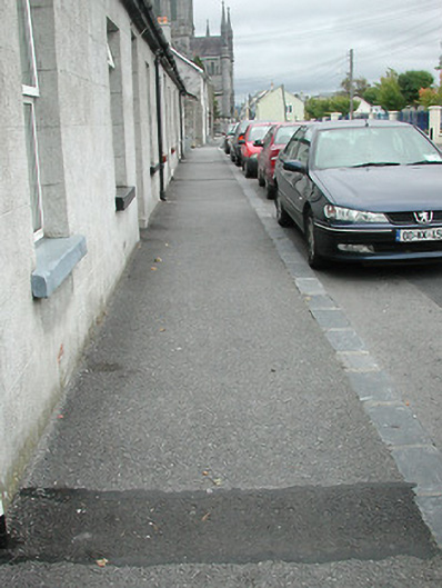 cobbles/flags/paving/kerbingcobbles/flags/paving/kerbing · 900 yd
 River LifeVisitor information · 1120 yd
 The FordVisitor information · 1125 yd
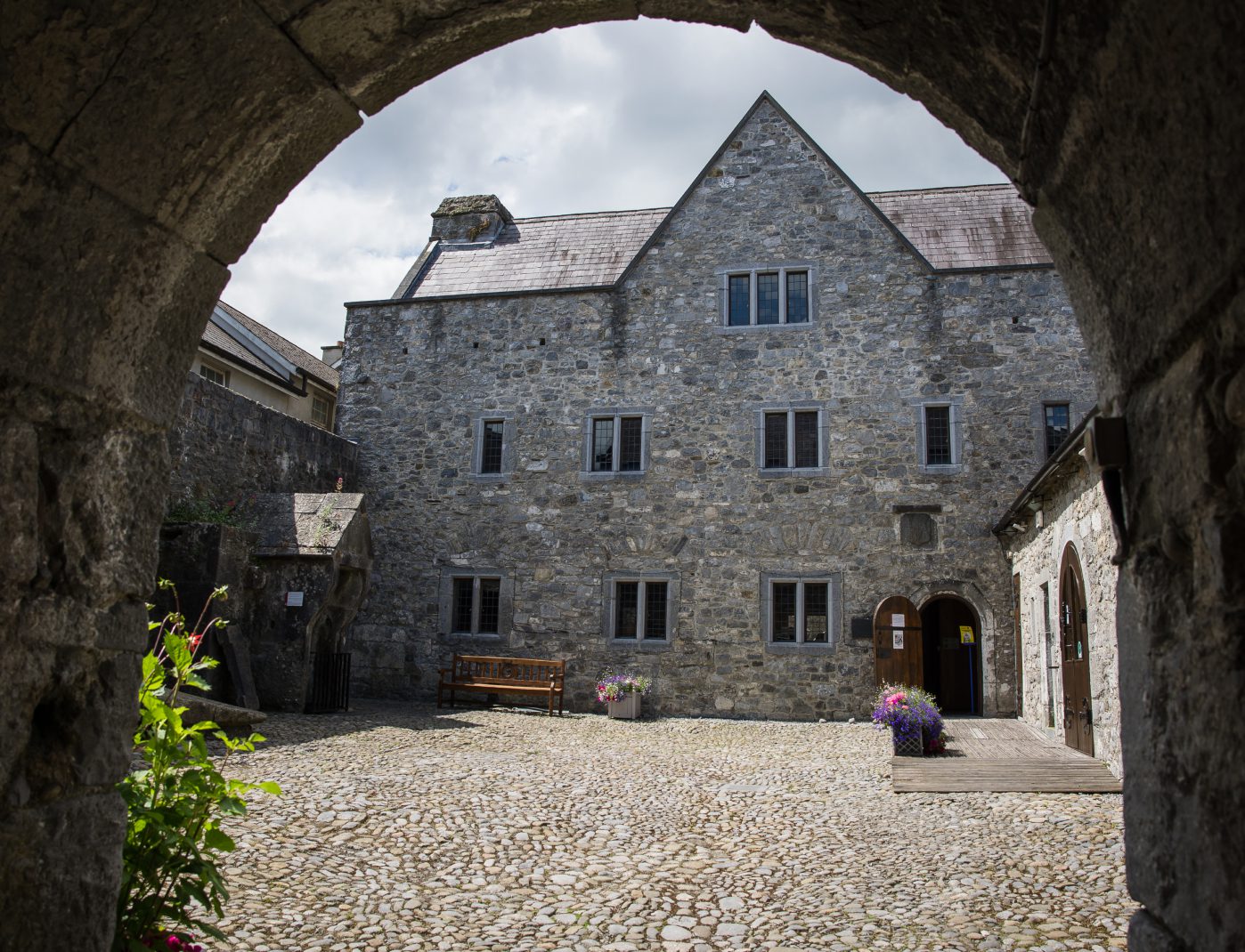 Rothe House & GardenMuseum · 1290 yd