What is recorded here
A watermill is marked on the Down Survey (1655-8) map in NLI (ms 725, microfilm P 7384, N 6380) of Rathmacknee parish towards the N end of Hodgesmill townland. A corn mill is marked on the 1839 and 1925 eds of the OS 6-inch map on the E side of a NW-SE stream at the N end of the townland, but it cannot be demonstrated that it is on the same site.
See the attached view from the Down Survey parish map (N at bottom) reproduced courtesy of the National Library of Ireland (Ms 725).
Compiled by: Michael Moore
Date of upload: 27 May, 2013
The monument record does not grant public access. Check the route and ask the landowner before entering private land.
- What survives
- Recorded monument
Places near here
 Saint Martin's Catholic Churchchurch/chapel · 868 yd
 Johnstown Castle Visitor CentreHeritage attraction · 1231 yd
 Irish Agricultural MuseumMuseum · 1272 yd
 Japanese cedarJapanese cedar · 1385 yd
 American SweetgumAmerican Sweetgum · 1518 yd
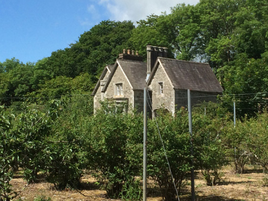 Johnstown Castleworker's house · 1545 yd
 St. Catherines WellHoly well · 1611 yd
 CastleCastle, tower house · 1668 yd
 Site of ChurchChurch · 1710 yd
 Castle (in ruinis)Castle, tower house · 2.7 mi
 16th Irish DivisionMemorial · 2.8 mi
 Skeater RockMountain / peak · 3.5 mi