
What is recorded here
Marked on the 1839 and 1925 eds of the OS 6-inch map and described in gothic lettering as St. Catherine’s Well on both, although the well was in the townland of Murntown Lower on the earlier map. It is situated on a level low-lying landscape with a small N-S stream c. 20m to the E. It is not visible at ground level.
Compiled by: Micahel Moore
Date of upload: 27 May, 2013
Linked to St. Catherine of Alexandria, a popular medieval saint venerated for her wisdom and martyrdom, the well is associated with traditions of healing and protection. Local folklore may have connected it to rites for curing ailments or ensuring safe childbirth, as was common with wells dedicated to her.
The monument record does not grant public access. Check the route and ask the landowner before entering private land.
- What survives
- Recorded monument
Places near here
 farm housefarm house · 751 yd
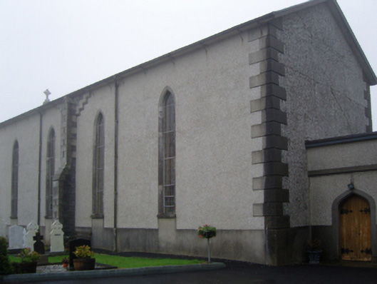 Saint Catherine's Catholic Churchchurch/chapel · 879 yd
 St. Davins WellHoly well · 1518 yd
 CastleCastle, tower house · 1757 yd
 Dawn RedwoodDawn Redwood · 1.0 mi
 Japanese cedarJapanese cedar · 1.1 mi
 Johnstown Castle Visitor CentreHeritage attraction · 1.1 mi
 Irish Agricultural MuseumMuseum · 1.1 mi
 Site of ChurchChurch · 1.4 mi
 Bawn in Newcastle (bargy By.)Bawn · 1.9 mi
 Skeater RockMountain / peak · 2.8 mi
 Carrickatinna RockMountain / peak · 2.9 mi
Other information
Photo: Credit not shown in the picture search · Rights wording not checked; contact us if this picture should be removed