
What is recorded here
Situated on the W bank of the River Suir at Beakstown. An old mill building which appears to incorporate an earlier mill, possibly that mentioned in the seventeenth-century Civil Survey (1654-6) as one of 'two Mills on the River Shewer in repaire' (Simington 1931, vol. 1, 66). The mill is marked as 'Old Corn Mill' on the 1st ed. (1843) OS 6-inch map but is not indicated on the subsequent 1952-3 revision. A rectangular building (c. 12m x 4.6m), aligned NE-SW, lies in ruins with the NE, SE and N end of the NW wall and part of the S end of the SW wall intact. The wall thickness varies from 0.6m to 1m and is constructed of uncoursed limestone rubble. A doorway at the N end of the NW wall incorporates a chamfered jamb from an earlier building, possibly Beakstown Castle (TN047-008001) which was located c. 200m SW. The millrace runs along the NW face and there is an internal rectangular depression in the ground near the W end of the NW wall to accommodate the inner wheel of the water wheel which is still intact. The NE wall (T 1.25m) appears to earlier - it extends at least 1.5m beyond the present rectangular building, the SE end being broken off. In this wall there is a flat-headed, limestone single-light window (0.15m x H 0.51m), chamfered externally, with drafted margins and hammer tooling.
The above description is derived from 'The Archaeological Inventory of County Tipperary. Vol. 1 - North Tipperary' compiled by Jean Farrelly and Caimin O'Brien (Dublin: Stationery Office, 2002). In certain instances the entries have been revised and updated in the light of recent research.
Date of upload/revision: 22 September 2008
The monument record does not grant public access. Check the route and ask the landowner before entering private land.
- What survives
- Recorded monument
Places near here
 Beakstown Saw Millmill (water) · 27 yd
 Beakstown HouseCastle, unclassified · 202 yd
 Beakstown Mills (disused)Water mill, unclassified · 259 yd
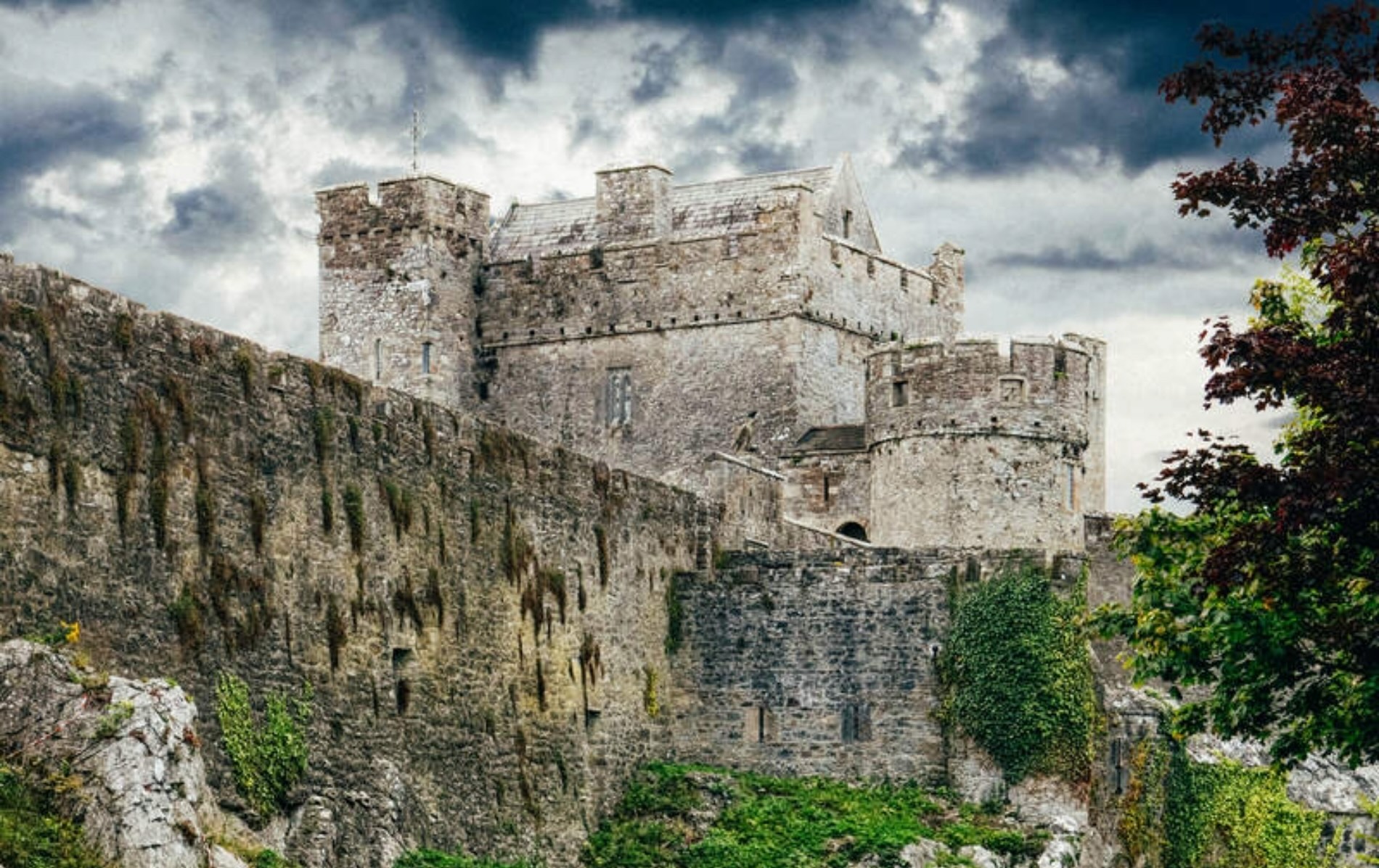 Castle (Site of)Castle, unclassified · 1054 yd
 Cormackstown Heritage CentreMuseum · 1496 yd
 Abbey WellHoly well · 1517 yd
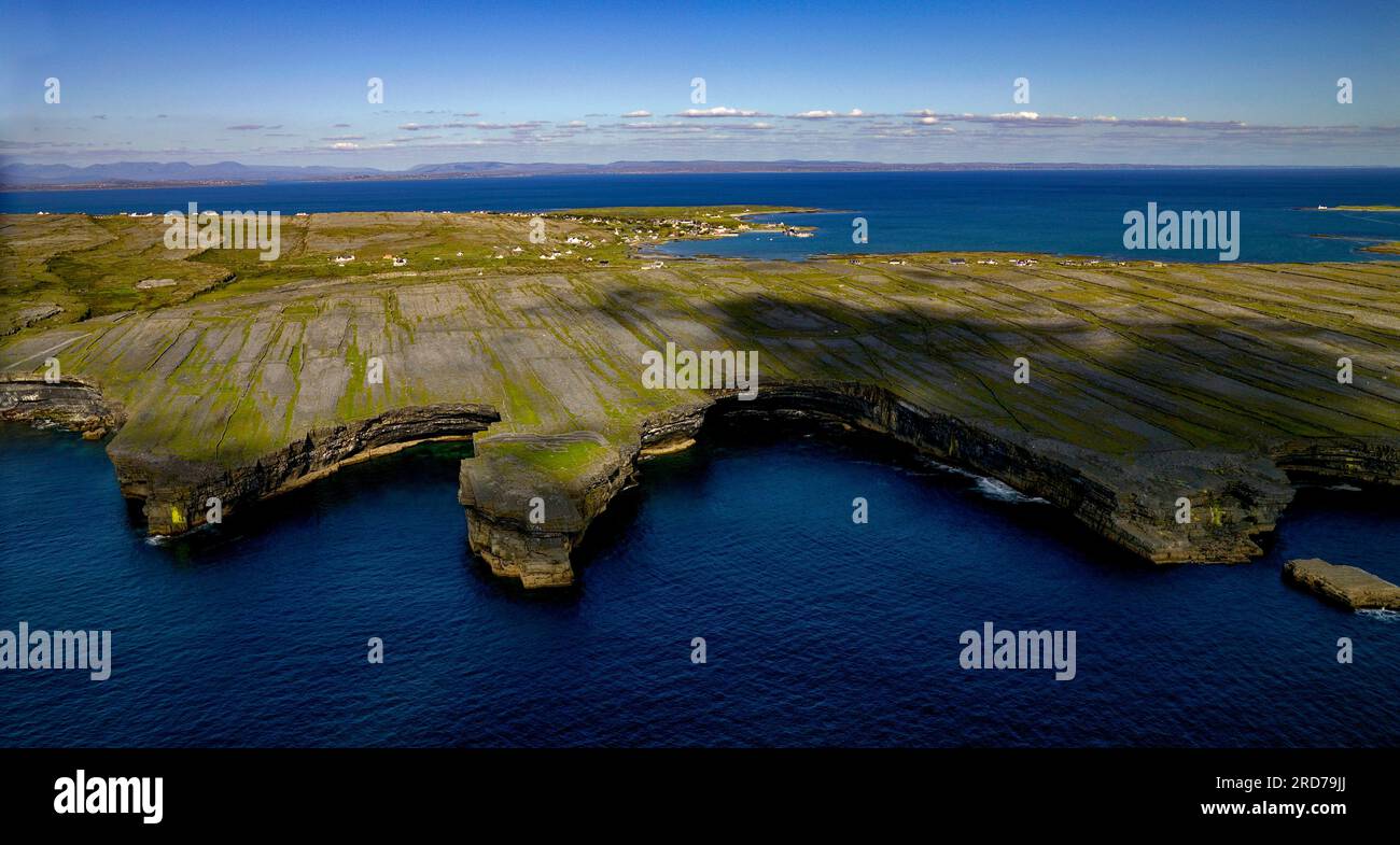 Black FortFairy fort / earthen ringfort · 1576 yd
 Wildlife CorridorWood · 2.4 mi
 WoodlandWood · 2.7 mi
 Lár na PáirceMuseum · 2.8 mi
 Killough Hill (site of)Mountain / peak · 3.1 mi
 KnockaneMountain / peak · 4.9 mi
Other information
Photo: Credit not shown in the picture search · Rights wording not checked; contact us if this picture should be removed