What is recorded here
A watermill at Ballygunner Temple is recorded in the Civil Survey (1654-6) as being owned by Lord John Power of Curraghmore (WA008-005----) in 1640 but mortgaged to Sir Thomas Sherlock, who leased it to James Sherlock, a merchant from Waterford city. It was probably on the S-N Ballycanvan stream at the E edge of the townland, which was then known as the Aghmurryea, but it remains unlocated. (Simington 1942, 165)
Simington, R. C. (ed.) (1942) The Civil Survey AD 1654-1656, vi, the County of Waterford. Irish Manuscripts Commission. Dublin.
Compiled by: Michael Moore
Date of upload: 14 February 2011
The monument record does not grant public access. Check the route and ask the landowner before entering private land.
- What survives
- Recorded monument
Places near here
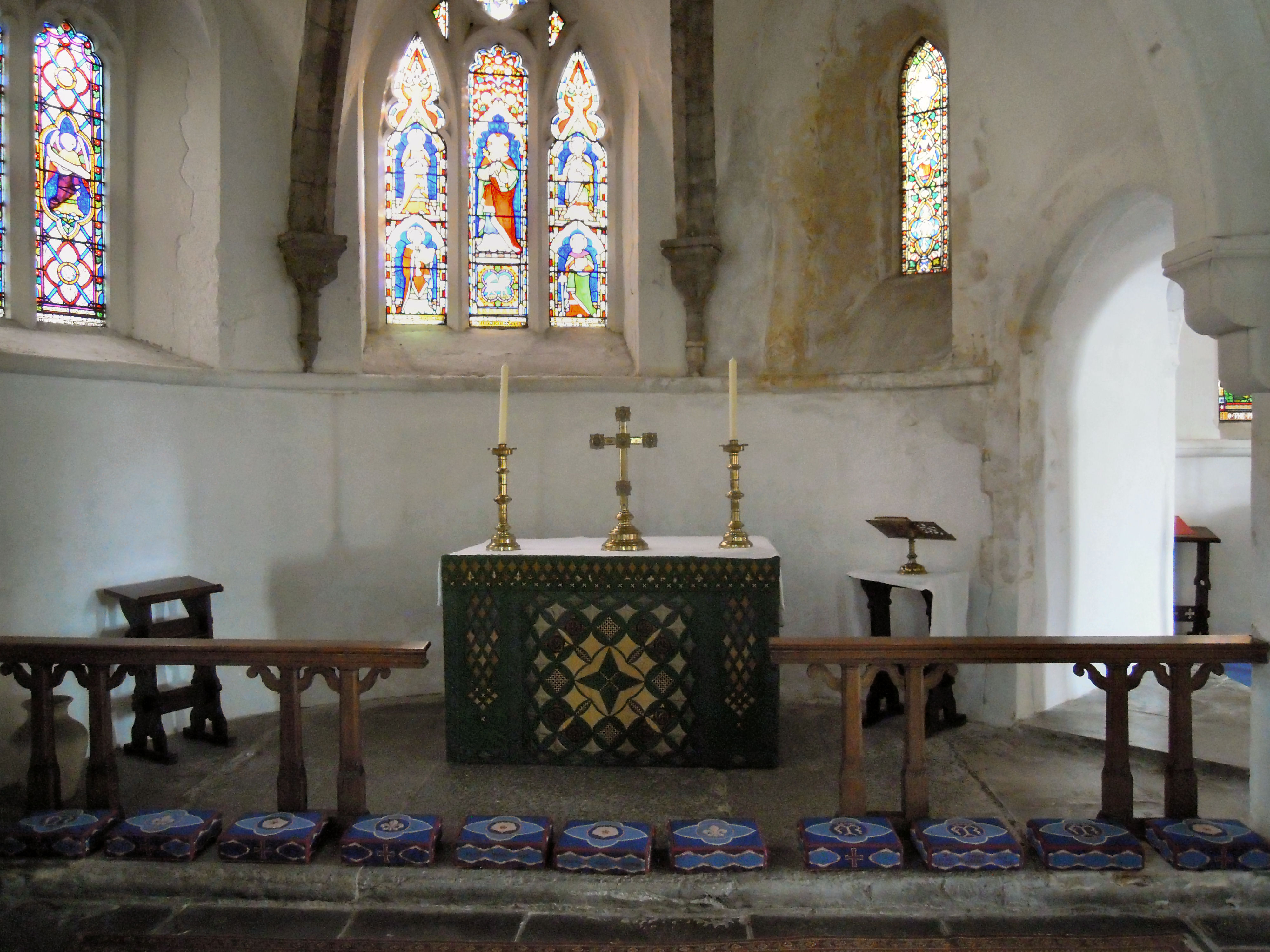 St. Marys Chapel (in ruins)Church · 157 yd
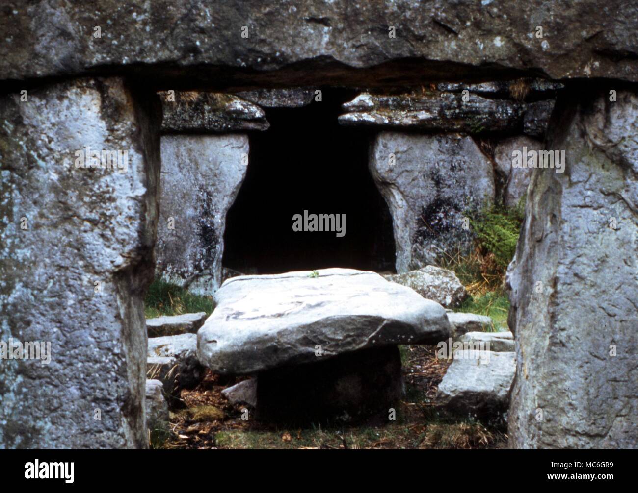 Druids AltarMegalithic structure · 692 yd
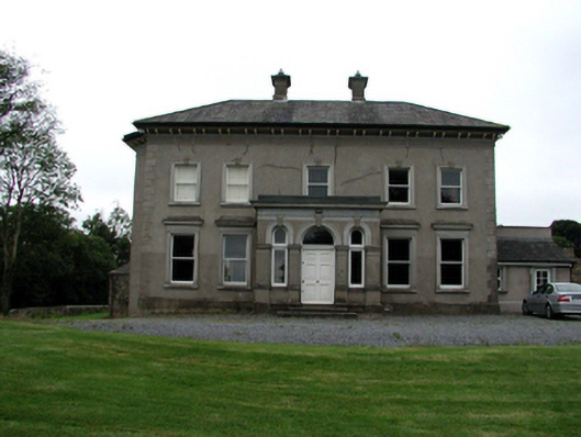 Brook Lodgehouse · 734 yd
 Enclosure in BallyvoreenEnclosure · 767 yd
 Castle (in ruins)Castle, tower house · 1207 yd
 Ballinakill WoodsWood · 1.3 mi
 MoteCastle, motte · 2.2 mi
 Tramore Dunes WalkWalking route · 6.1 mi
 Tramore Tourist OfficeVisitor information · 6.4 mi
 Tourist InformationVisitor information · 6.5 mi
 Cannon GunBattlefield · 6.9 mi