What is recorded here
No surface remains fo any watermill pre-1700 in aea marked on 6" OS 6-inch map. Depicted as an Old Corn Mill on the first ed. OS 6-inch map. Mill depicted on Down Survey map which is not precise enough to give an accurate location for this mill. Unlocated within townland.
In 2002 archaeological monitoring by Brian Hodkinson on a private house development in the vicinity of the nineteenth century watermill revealed no archaeological features or deposits of archaeological significance. This monitoring was carried out under Licence No. 02E0204 (Bennett 2004, 470).
The above description is derived from 'The Archaeological Inventory of County Tipperary. Vol. 1 - North Tipperary' compiled by Jean Farrelly and Caimin O'Brien (Dublin: Stationery Office, 2002). In certain instances the entries have been revised and updated in the light of recent research.
Date of upload/revision: 22 September 2008
The monument record does not grant public access. Check the route and ask the landowner before entering private land.
- What survives
- Recorded monument
Places near here
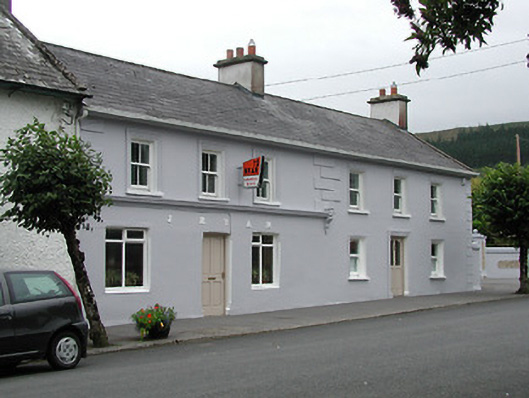 J. Ryanhouse · 94 yd
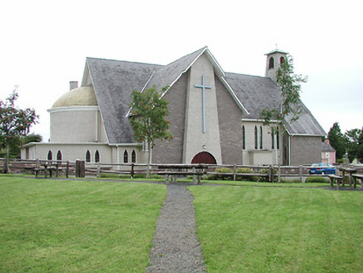 Catholic Church of Our Lady of Lourdeschurch/chapel · 137 yd
 Our Lady Assumed into HeavenMemorial · 204 yd
 The MinerMemorial · 218 yd
 Silvermines ViewpointViewpoint · 1405 yd
 Dunalley Castle (in ruins)Castle, unclassified · 1413 yd
 KillelaneFairy fort / earthen ringfort · 1661 yd
 Sweet ChestnutSweet Chestnut · 1.0 mi
 Site of Ballygown CastleCastle, unclassified · 1.1 mi
 Enclosure in Kilboy (kilmore Par., North Riding)Enclosure · 1.2 mi
 Silvermine Mountains E TopMountain / peak · 1.2 mi
 Silvermine Mountains W TopMountain / peak · 1.6 mi