What is recorded here
Immediately SW of an early ecclesiastical enclosure (GA084-085003-). The site of a watermill, possibly of the horizontal type (pers. comm. E. Rynne). The 3rd ed. of OS 6-inch map (1933) shows two roughly parallel banks, c. 25m apart, branching off from the enclosure at SW. These are shown running downhill for c. 150m on a NNW-SSE axis, converging into one towards SSW end. On the same map, a stream is depicted emerging from the fosse of the enclosure at WSW. It is then shown running beneath a small bridge immediately outside it at SW before flowing off downhill between the two banks. These features probably represent the remains of the head race of a watermill (ibid.). Though still intact in July 1970 (CUCAP BDN 70), only faint surface traces now survive. (ASGAP 377:2, 5)
The above description is derived from the published 'Archaeological Inventory of County Galway Vol. II - North Galway'. Compiled by Olive Alcock, Kathy de hÓra and Paul Gosling (Dublin: Stationery Office, 1999). In certain instances the entries have been revised and updated in the light of recent research.
Updated by: Olive Alcock
Date of revised upload: 18 November 2016
The monument record does not grant public access. Check the route and ask the landowner before entering private land.
- What survives
- Recorded monument
Places near here
 Ecclesiastical enclosure in Kilcornan (kilconnell By.)Ecclesiastical enclosure · 192 yd
 Quarry in Carrowntober WestQuarry · 1382 yd
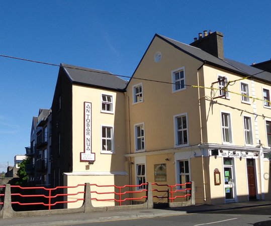 Tobar PadraigHoly well · 1410 yd
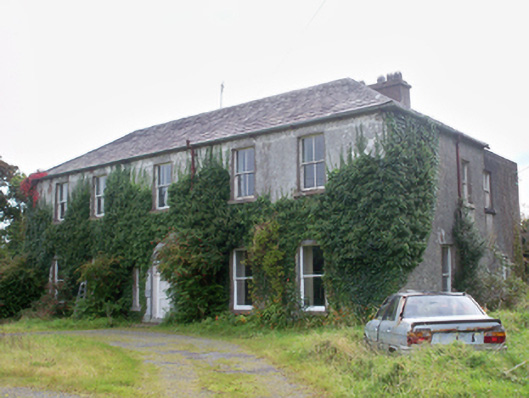 Graigabbey HouseOfficially recorded historic building · 1616 yd
 Castle (in ruins)Castle, tower house · 1.2 mi
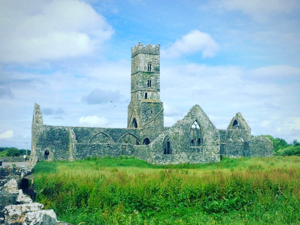 Cloonbrusk Castle (in ruins)Castle, unclassified · 1.5 mi
 Athenry CastleHeritage attraction · 1.5 mi
 First Battle of Athenrybattle · 1.5 mi
 Athenry AbbeyHeritage attraction · 1.6 mi
 Horse-chestnutHorse-chestnut · 1.6 mi
 Moyard WoodWood · 3.2 mi
 Barrack IslandIslet · 9.6 mi