What is recorded here
At the outfall of Inishmurray's only stream, located immediately to E of the Templenaman graveyard (SL001-002007-), and 115m SE of an ecclesiastical enclosure (SL001-001001-).
This is a National Monument (no. 117) in state ownership.
Drystone walls retain the banks of the island’s only watercourse at its outfall to the sea. The walls form three sides of a pit (2.8 m north/south by 2.1 m; 1.3 m high) with a breached, or wave-eroded outer side. Exploratory investigation [099E0381] in 1999 confirmed that the masonry observed in 1998 represents vestigial remains of a mill undercroft but could find no dating evidence or suitable sample for radiocarbon dating. A large land parcel east of this is identified by Heraughty’s (1982, 76) placename map as Fál an Mhuilinn (literally ‘millbank’ or ‘millgreen’). A millstone, possibly from this mill, is now located in Templenatinny church (SL001-001011-) in the ecclesiastical enclosure (SL001-001001-).
The above description is derived from the results of a programme of survey and excavation undertaken in 1997-2000 on Inishmurray and published in:
Jerry O’Sullivan and Tomás Ó Carragáin 2008 Inishmurrary. Monks and pilgrims in an Atlantic landscape. Volume 1: Archaeological Survey and Excavations 1997-2000. Cork. The Collins Press.
The monument record does not grant public access. Check the route and ask the landowner before entering private land.
- What survives
- Recorded monument
Places near here
 Teampull Mhuire or Teampull-na-mbanChurch · 31 yd
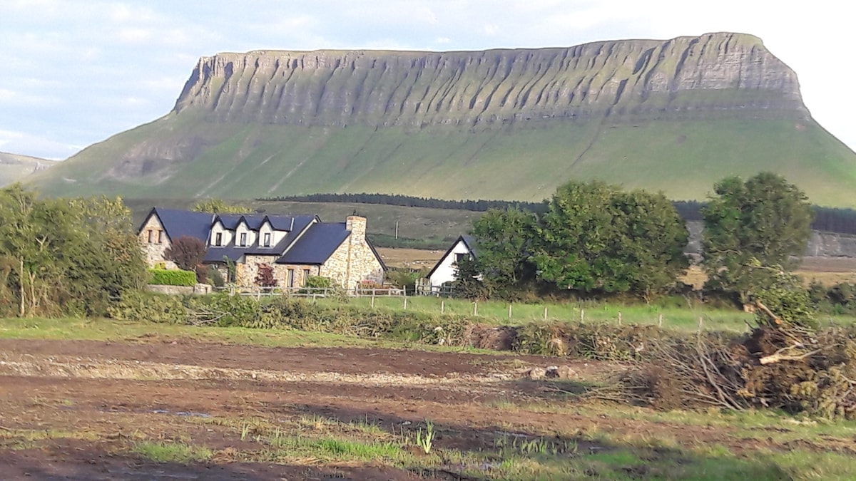 Laghta ColumbkilleLeacht · 45 yd
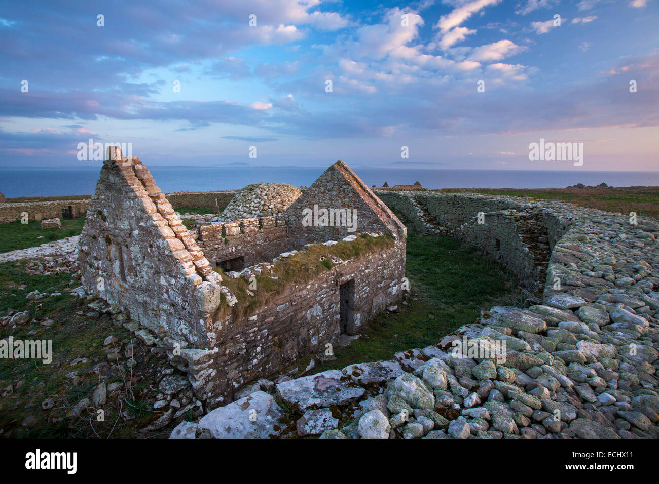 Inishmurray Island Monastic SiteHeritage attraction · 127 yd
 Enclosure in InishmurrayEnclosure · 127 yd
 Teampull Molaise, TeampullnabarChurch · 147 yd
 InishmurrayIsland · 306 yd
 Streedagh BeachVisitor information · 4.2 mi
 de Cuellar Armada MonumentMemorial · 4.3 mi
 InishnagorIslet · 5.3 mi
 Bawn in DoonforeBawn · 5.6 mi
 Knocklane CastleRuins · 5.7 mi
 Upperglen WoodForest · 6.0 mi