
What is recorded here
Situated on the N bank of a small E-W stream that joins the N-S Kayle stream c. 350m to the W. An oak beam (L at least 3.3m) with two mortices was recovered from the stream bed c. 1980 and is now used as a gate pier c. 350m NE of its find-spot. Other timbers are known to be in the stream. A dendrochronological felling date of AD 873±9 has been provided by M. Baillie (Palaeoecology Laboratory, Queen's University, Belfast). The burnt mound (WX040-073002-) is c. 10m to the NW.
The above description is derived from the published 'Archaeological Inventory of County Wexford' (Dublin: Stationery Office, 1996). In certain instances the entries have been revised and updated in the light of recent research.
Compiled by: Michael Moore
Date of upload/revision: 19 February, 2013
The monument record does not grant public access. Check the route and ask the landowner before entering private land.
- What survives
- Recorded monument
Places near here
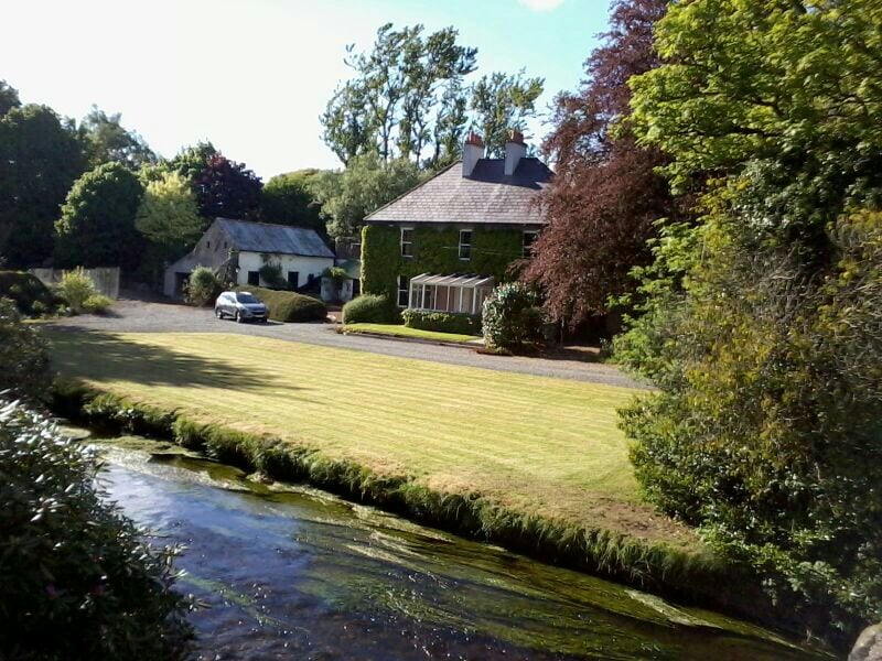 Embanked enclosureFairy fort / earthen ringfort · 901 yd
 Enclosure in CoolboyEnclosure · 999 yd
 Abbey (Site Of)Ruins · 1119 yd
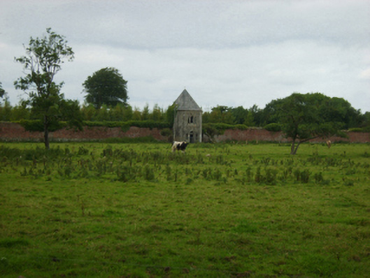 Abbey Villebuilding misc · 1120 yd
 Bryanstown Ho.Castle, tower house · 1.2 mi
 CastleCastle, unclassified · 1.5 mi
 Carrickbyrne HillMountain / peak · 3.7 mi
 Coolcliffe HouseRuins · 3.8 mi
 Lockheed Hudson AM885 MemorialMemorial · 3.9 mi
 Ash CollectionVisitor information · 4.6 mi
 Alder CollectionVisitor information · 4.7 mi
 The John F. Kennedy ArboretumForest · 5.0 mi
Other information
Photo: Credit not shown in the picture search · Rights wording not checked; contact us if this picture should be removed