
What is recorded here
Detached formerly T-plan five-bay two-storey house built c.1770, having single-storey pitched roofed extensions to rear elevations of main block and return. Recent red brick flat-roofed porch to front. Pitched slate roof to main block, artificial slate roofs elsewhere, having rendered chimneystacks and cast-iron rainwater goods. Artificial slate hanging to lean-to extension chimneystacks. Roughcast rendered walls to front (east) elevation with rendered walls elsewhere. Square-headed window openings with stone sills throughout, having one-over-one pane timber sliding sash windows and raised render reveals to front elevation. Two-over-two pane timber sliding sash window and timber-framed bipartite window with one-over-one pane timber sliding sash windows to rear return. Outbuildings to west. Set within own extensive grounds, having curved rendered walls with carved limestone coping and square-profile gate piers to north-east with pyramidal carved limestone caps.
A well-proportioned house with balanced facade, retaining much of its historic character. The strong horizontal form and substantial gable chimneystacks are typical eighteenth century features. Its associated outbuildings to the rear add to its setting and context.
This does not grant access. Most recorded buildings are privately owned; view them only from public ground unless the owner allows entry.
Places near here
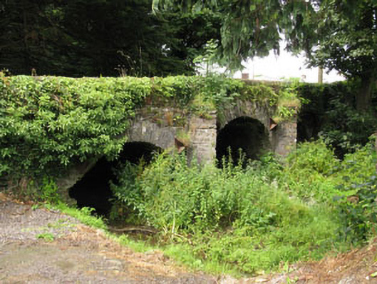 Enniskean Bridgebridge · 861 yd
 Catholic Church of the Immaculate Conceptionchurch/chapel · 1041 yd
 CaveMan-made underground passage · 1185 yd
 Burnt mound in Castlelands (carbery East (w.d.) By.)Burnt mound · 1526 yd
 The GlenWood · 1.2 mi
 Castle DerryCastle · 1.8 mi
 Corran HillMountain / peak · 2.6 mi
 Tobar MacloonaboySpring · 2.9 mi
 Irish National Forestry FoundationNature reserve · 3.3 mi
 Castle RockNamed rock · 3.5 mi
 Fahanacowley Castle (Site of)Castle, unclassified · 4.5 mi
 Green HillMountain / peak · 4.7 mi
Other information
Photo: National Inventory of Architectural Heritage · Website use allowed for educational or private purposes with source credit