
Places near here
Photo credits
- JThomas, Wikimedia Commons · CC BY-SA 2.0
- Jonathan Thacker, Wikimedia Commons · CC BY-SA 2.0
- DS Pugh, Wikimedia Commons · CC BY-SA 2.0
- David Brown, Wikimedia Commons · CC BY-SA 2.0
- Roger Gilbertson, Wikimedia Commons · CC BY-SA 2.0
- Chris Minto, Wikimedia Commons · CC BY-SA 2.0
- Maximilian Dörrbecker ( Chumwa ), Wikimedia Commons · CC BY-SA 3.0
- Dupont Circle, Wikimedia Commons · CC BY-SA 3.0
- Graham Hogg, Wikimedia Commons · CC BY-SA 2.0
- Trevor Littlewood, Wikimedia Commons · CC BY-SA 2.0
 Barn at Common FarmListed building · 1649 yd
 Arglam WoodWood · 1.1 mi
 Bursea ChapelListed building · 1.4 mi
 Black PlantationWood · 1.7 mi
 Moated site at Manor Farm, PortingtonScheduled monument · 2.2 mi
 Old milestoneMonument or public art · 2.4 mi
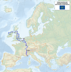 European long distance path E2 eastWalking route · 4.4 miEuropean long distance path E2 east - part United KingdomWalking route · 4.4 mi
 Wressle CastleScheduled monument · 5.1 mi
 Wressle Castle South RangeRuins · 5.1 mi
 Hook Road CemeteryCemetery · 6.4 mi
 West ParkVisitor information · 7.0 mi
More woods, forests and old trees in East Riding of Yorkshire · All of East Riding of Yorkshire

What do you know about this place?Tap to add a comment or ask a question