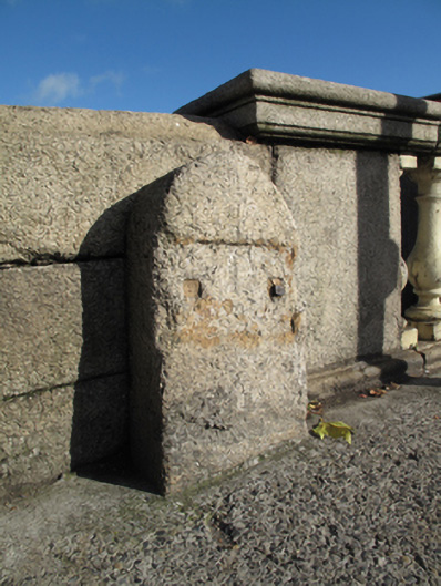
What is recorded here
Round-headed granite boundary marker, erected c.1850, marking west boundary of Usher's Quay Ward. Square-profile recess to front (south) elevation, cast-iron plaque missing, cast-iron rivets remain.
This piece of street furniture makes a pleasing contribution to the quay-side and is of contextual interest as a reminder of the nineteenth century civic organisation of Dublin, with the on-going development of the quays. Markers such as this were erected to identify the extent of territorial units/election constituencies for local government elections. It forms part of a group with corresponding markers to the east and north of Father Matthew Bridge. The use of granite provides a sense of uniformity with the quay walls and bridge.
This does not grant access. Most recorded buildings are privately owned; view them only from public ground unless the owner allows entry.
Places near here
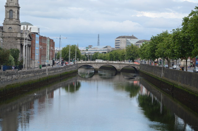 Father Mathew Bridgebridge · 27 yd
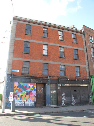 apartment/flat (purpose-built)apartment/flat (purpose-built) · 27 yd
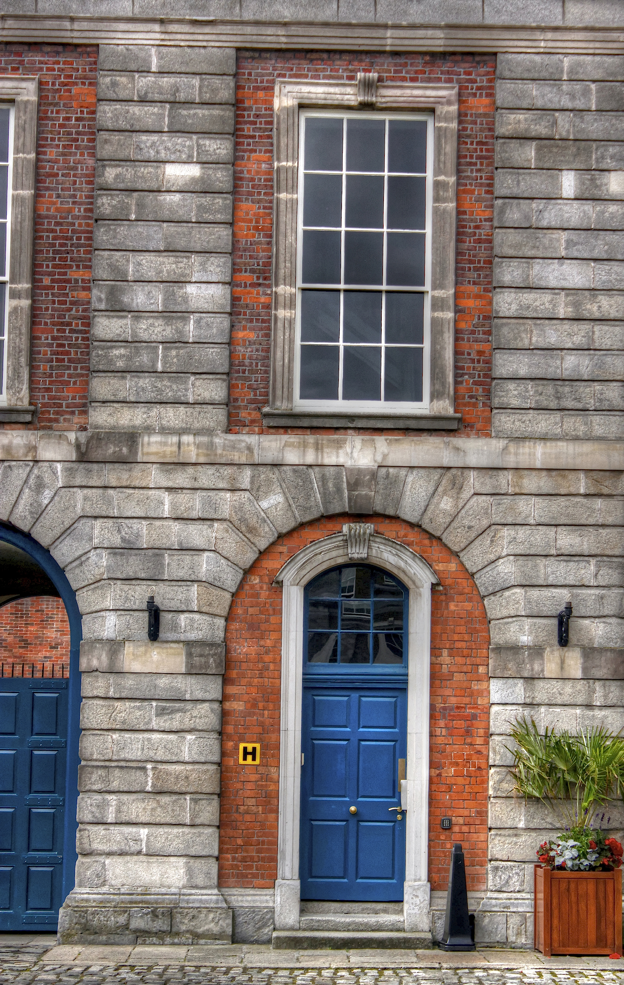 Courthouse in Unknown TownlandCourthouse · 95 yd
 Burnt mound in Unknown TownlandBurnt mound · 143 yd
 Gairdín Súgartha i gCuimhne ar na Páistí a Cailleadh in 1916Memorial · 181 yd
 Medieval City Wall and St. Audeon's ArchHeritage attraction · 220 yd
 Saint Audoen's GateHeritage attraction · 222 yd
 Medieval DublinVisitor information · 276 yd
 European PearEuropean Pear · 606 yd
 Croppies Acre MemorialMemorial · 767 yd
 London PlaneLondon Plane · 843 yd
 CastleCastle, unclassified · 897 yd
Other information
Photo: National Inventory of Architectural Heritage · Website use allowed for educational or private purposes with source credit