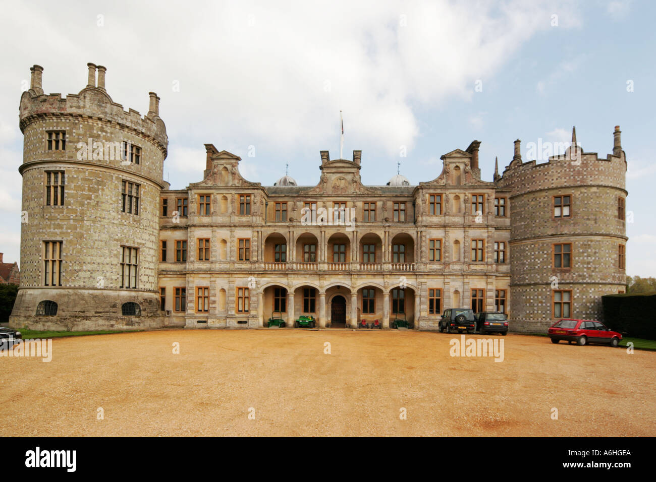
What is recorded here
Walshs Fort is a fairy ring in County Longford pasture, an oval of raised earth and scarp that may have housed people or angered fairies before memory faded. Its low bank and hidden entrance suggest a place where the boundary between worlds grew thin, not a fortress built for human wars. The forges of the fairies may have burned beneath that grass, forging luck or mischief for those reckless enough to listen.
In rolling pasture. A raised roughly oval area (31.7m NNW-SSE; 23.8m WNW-ESE) enclosed from W-WNW-NW by a very low bank of earth and stone (Wth 6.4m; H 0.25m max.). Elsewhere the defining element is a scarp (H 0.3-0.85m). A report in 1975 (SMR file) recorded an external fosse and an outer bank, neither of which is visible at ground level. The original entrance is not recognisable.
Compiled by: Patrick F. O'Donovan
Date of upload: 26 August 2011
The monument record does not grant public access. Check the route and ask the landowner before entering private land.
- What survives
- Recorded monument
Places near here
 CastleCastle, unclassified · 380 yd
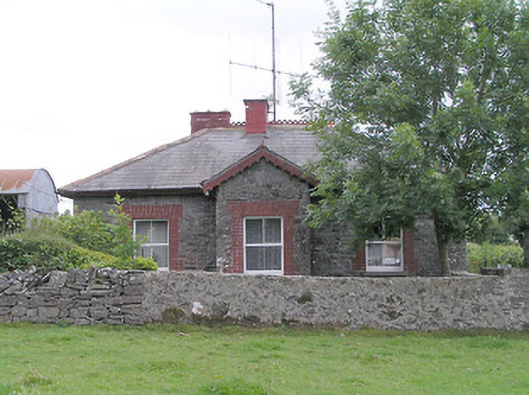 worker's house, houseworker's house, house · 656 yd
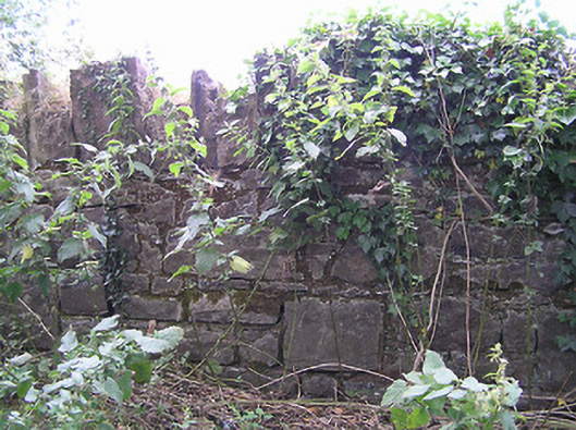 demesne walls/gates/railingsdemesne walls/gates/railings · 818 yd
 Enclosure in Tully (granard By.)Enclosure · 906 yd
 IndicatedFairy fort / earthen ringfort · 1192 yd
 Moat & FortCastle, motte and bailey · 1.8 mi
 Clonfin Ambush MemorialMemorial · 2.1 mi
 Cloonfin WoodForest · 3.3 mi
 Granard MotteMotte-and-bailey castle remains · 3.5 mi
 1798 Monumentmonument · 3.6 mi
 Edgeworthstown BypassMemorial · 3.7 mi
 Ballinalee Forest WalkForest · 4.7 mi
Other information
Photo: Credit not shown in the picture search · Rights wording not checked; contact us if this picture should be removed