What is recorded here
Upwind of the glen, an unlocated upland settlement still belongs to the land even though no marker exists to point at it. The official record preserves the site but withholds its exact position, forcing imagination to carry what measurement refused. People may have lived there in weather and season, using stone and fire before memory thinned. That absence does not erase them; it redirects attention from a coordinate to the shape of survival itself.
The official Northern Ireland record identifies this as UPLAND SETTLEMENT SITE (O.S. memoir site, unlocated). Recorded period: UNCERTAIN. The official map point was placed at the centre of the recorded archaeological site from the source map reference.
The monument record does not grant public access. Check the route and ask the landowner before entering private land.
- What survives
- Recorded monument
Places near here
 Goles ForestNature reserve · 1.8 mi
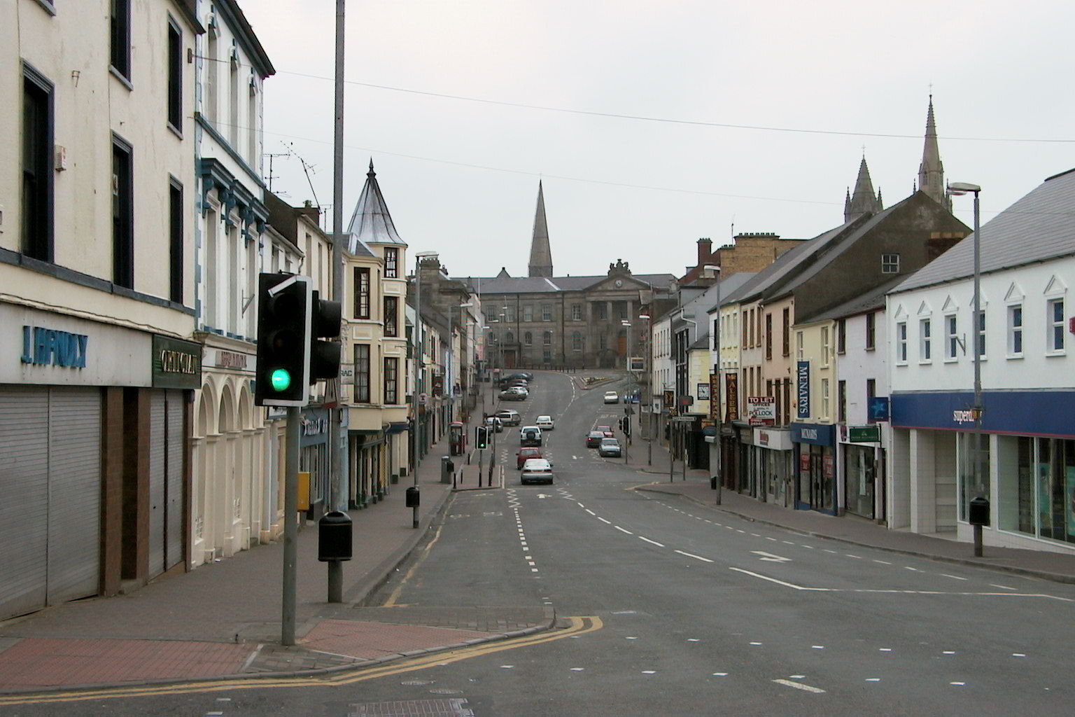 MullaghsallaghMountain / peak · 1.8 mi
 ENCLOSURE & BULLAUN in GlengomnaENCLOSURE & BULLAUN · 1.9 mi
 CarnanellyMountain / peak · 2.2 mi
 Goles Stone RowArchaeological place · 2.7 mi
 St Columba's ChurchChurch · 3.6 mi
 Moydamlaght ForestForest · 4.4 mi
 Presbyterian ChurchChurch · 4.7 mi
 Lough FeaWalking route · 4.8 mi
 Craig-na-ShokeCliff · 5.1 mi
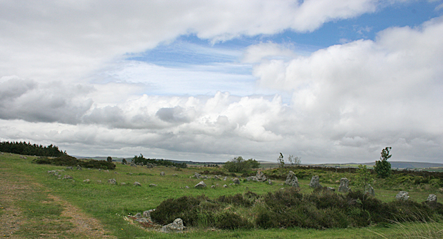 BeaghmoreArchaeological place · 5.7 mi
 Beaghmore Stone CirclesVisitor information · 5.7 mi