
What is recorded here
Unst, Norwick, Bartles Kirk is a stone setting in Shetland Islands, Scotland.
Places near here
Photo credits
- Mike Pennington, Wikimedia Commons · CC BY-SA 2.0
- Mat Tuck, Wikimedia Commons · CC BY-SA 2.0
- Robbie, Wikimedia Commons · CC BY-SA 2.0
- Maker not stated on source page, ca.pinterest.com
- Maker not stated on source page, stock.adobe.com
- Rude Health, Wikimedia Commons · CC BY-SA 2.0
 Norwick MeadowSheep Shelter · 294 yd
 Unst, Norwick, Banks, CottageCottage · 324 yd
 The TaingIsland · 467 yd
 North Unst War MemorialMemorial · 647 yd
 Unst, Norwick, St John's Church and ChurchyardBroch (iron Age) (possible), Burial Ground (medieval), Church (medieval), War Memorial (20th Century) · 658 yd
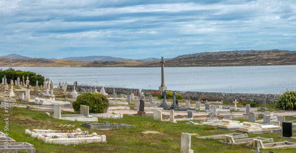 Mapped cemeteryCemetery · 669 yd
 Ward of NorwickMountain / peak · 903 yd
 Nor WickBay · 1316 yd
 Hero: Ruecok Burgar, Nor Wick, Unst, North SeaBrig (19th Century) · 1448 yd
 Sothers FieldMountain / peak · 1.0 mi
 Unst, Sand of Inner SkawSaddle Quern · 1.1 mi
 Sand of Inner SkawBeach / strand · 1.1 mi
More archaeology and monuments in Shetland Islands · All of Shetland Islands

What do you know about this place?Tap to add a comment or ask a question