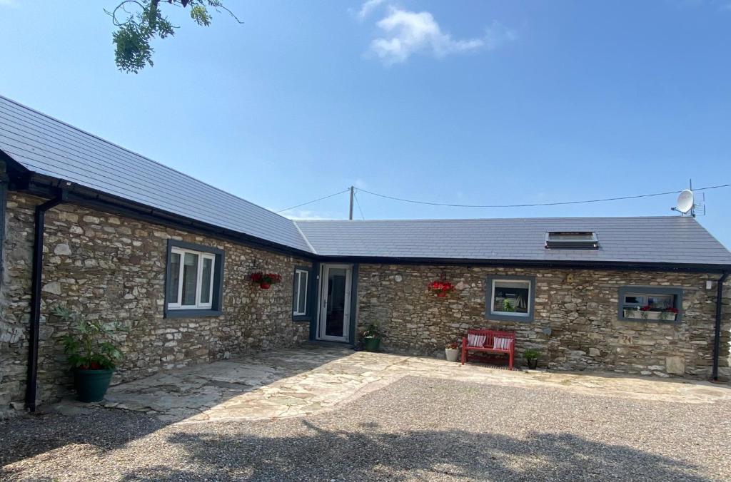
What is recorded here
Ruined 2-storey (over basement to rear) late 18th/early 19th century house marked on OS 6-inch map 1902 and 1935 as 'Carhuegarriffe'. Weatherslated walls; projecting eaves; collapsed hipped roof with central chimney. Entrance front (N) of 3 bays; central round-headed door ope. Gabled addition to rear.
The above description is derived from the published 'Archaeological Inventory of County Cork. Volume 2: East and South Cork' (Dublin: Stationery Office, 1994). In certain instances the entries have been revised and updated in the light of recent research.
Date of upload/revision: 14 January 2009
The monument record does not grant public access. Check the route and ask the landowner before entering private land.
- What survives
- Recorded monument
Places near here
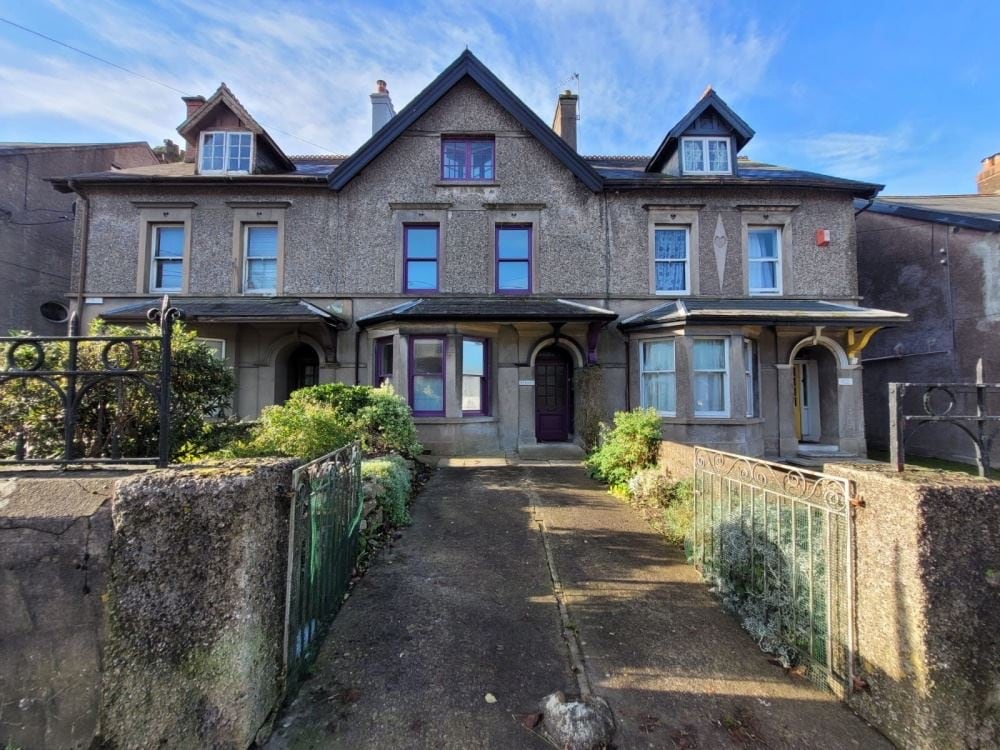 Anngrove HouseCountry house · 613 yd
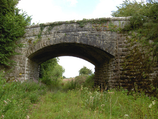 Haly's Bridgebridge · 900 yd
 G YdGraveyard · 1151 yd
 Holy WellHoly well · 1.1 mi
 Harper's IslandIslet · 1.4 mi
 Barryscourt CastleCastle · 1.5 mi
 Barrys Court Castle, Tower(s)Castle, tower house · 1.5 mi
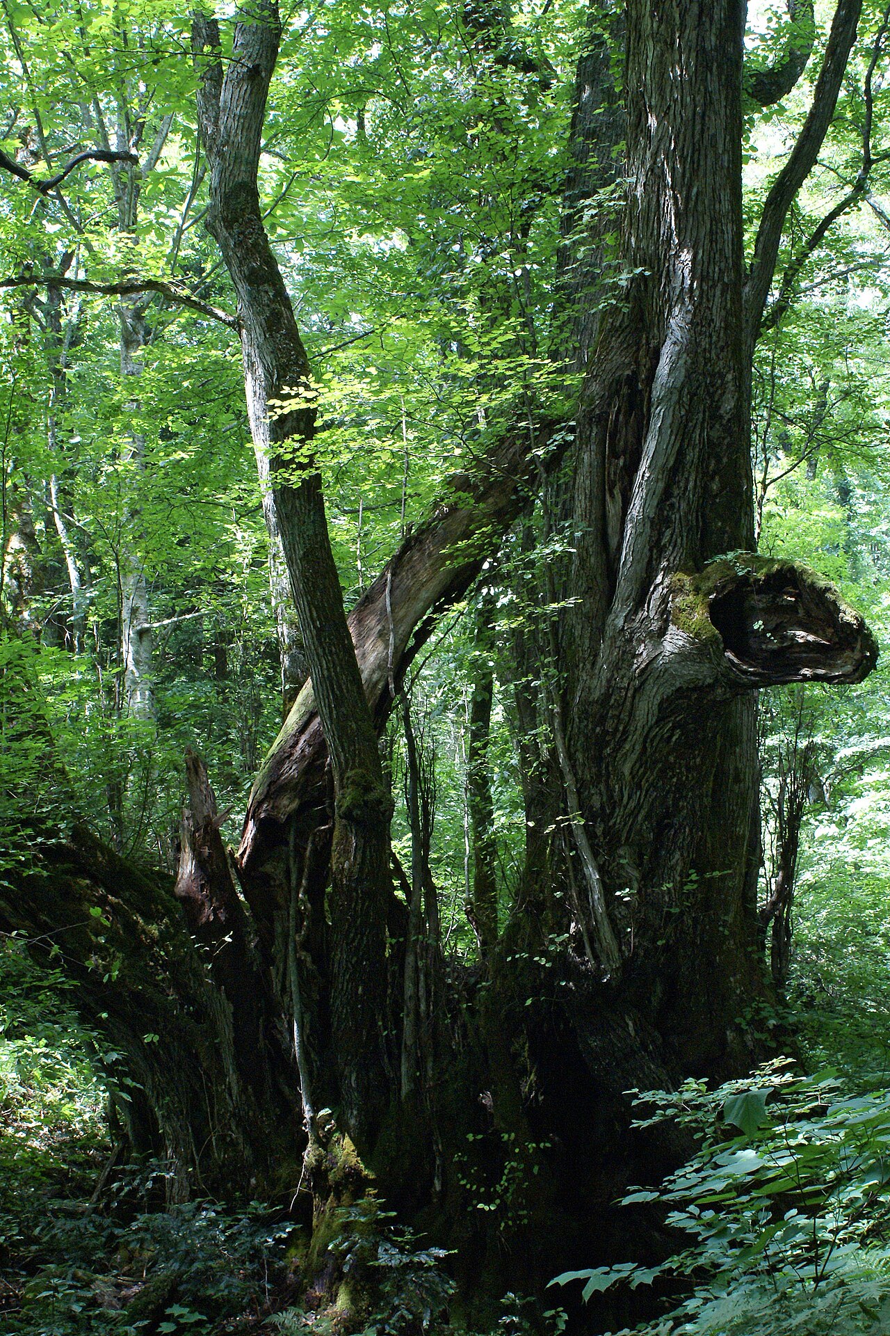 Katsura treeKatsura tree · 1.6 mi
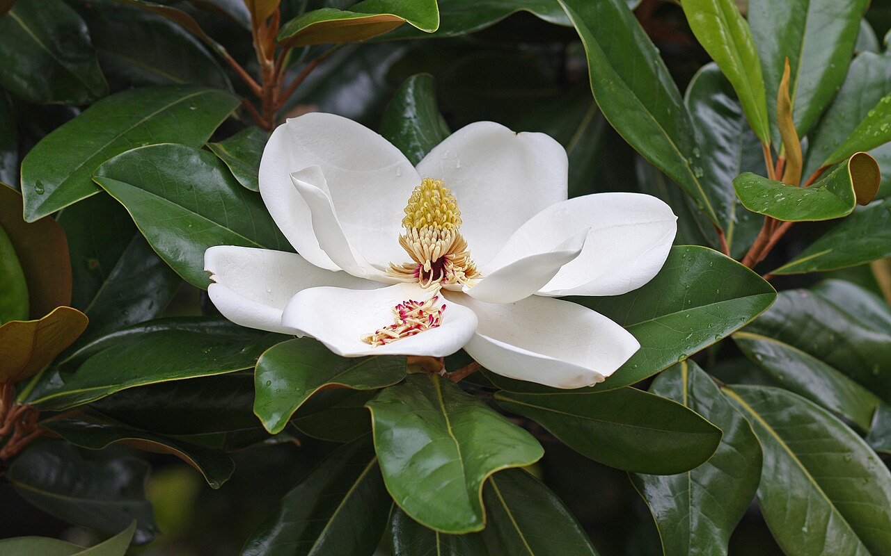 Southern magnoliaSouthern magnolia · 1.6 mi
 Fota Arboretum and GardensHeritage attraction · 1.8 mi
 Castle (Site of)Castle, unclassified · 2.2 mi
 Lough MahonBay · 3.9 mi
Other information
Photo: Credit not shown in the picture search · Rights wording not checked; contact us if this picture should be removed