What is recorded here
Scotland's National Record of the Historic Environment records U 680 (probably) as Submarine (second World War)-(1945). The official map says its point is accurate as follows: NGR given to the nearest 1m. The record does not by itself mean that the public may enter the place.
U 680 was a German U-boat, likely lost in 1945 near the end of the Second World War. It was probably sunk by Allied forces, with no survivors recorded; its wreck remains an important wartime archaeological site.
The historic-place record does not grant public access. Check current conditions and ownership before entering land or a building.
Places near here
 A.P. SITE: POSSIBLE ENCLOSURE in Carrowreagh MountainA.P. SITE: POSSIBLE ENCLOSURE · 11 mi
 Rathlin West LighthouseLighthouse · 11 mi
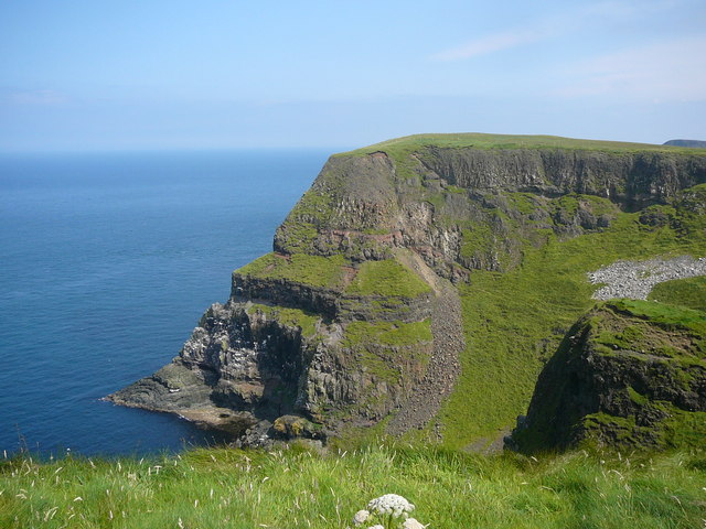 Derginan PointHeadland · 11 mi
 A.P. SITE: CROPMARK OF SQUARE ENCLOSURE in KebbleA.P. SITE: CROPMARK OF SQUARE ENCLOSURE · 11 mi
 RuecallanHeadland · 11 mi
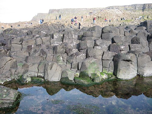 Giant's CausewayHeritage attraction · 12 mi
 Giant's GateHeritage attraction · 12 mi
 Red Trail, Giant's CausewayWalking route · 12 mi
 Blue Trail, Giant's CausewayWalking route · 12 mi
 Dunseverick CastleCastle · 12 mi
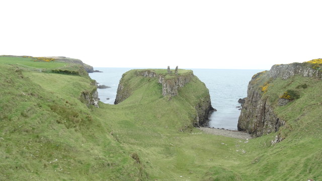 DUNSEVERICK CASTLE in Feigh Alias DunseverickDUNSEVERICK CASTLE · 12 mi
 Dunseverick FallsWaterfall · 12 mi