What is recorded here
The official Northern Ireland record identifies this as TWO STONE CIRCLES. Recorded period: BRONZE AGE; PREHISTORIC. The official map point was placed at the centre of the recorded archaeological site from the source map reference.
Probably dating to the Bronze Age, these stone circles may have had ceremonial, astronomical, or communal functions, as was common in prehistoric ritual landscapes. Local folklore or specific meanings associated with the site are not recorded.
The monument record does not grant public access. Check the route and ask the landowner before entering private land.
- What survives
- Recorded monument
Places near here
 Bin MountainMountain / peak · 1.6 mi
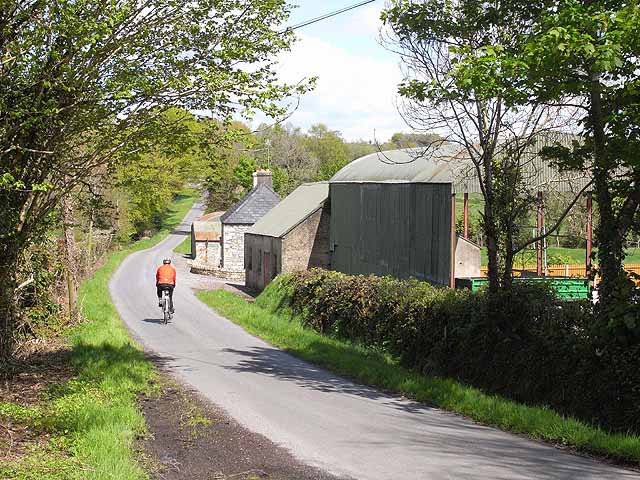 ENCLOSURE in LeitrimENCLOSURE · 2.3 mi
 HILLFORT & ?CASHEL: AGHNAHOO FORT in LeitrimHILLFORT & ?CASHEL: AGHNAHOO FORT · 2.3 mi
 Bolaght MountainMountain / peak · 2.5 mi
 Killeter BridgeBridge · 2.6 mi
 St Caireall’s Church RuinRuins · 2.9 mi
 Drumskinny Stone CircleHeritage attraction · 3.8 mi
 Sloughan GlenWood · 3.8 mi
 Dreenan WoodWood · 4.9 mi
 Derg CastleCastle · 5.5 mi
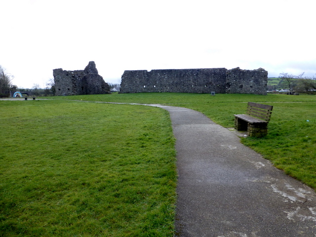 FORTIFIED HOUSE & BAWN: CASTLEDERG CASTLE in CastlesessaghFORTIFIED HOUSE & BAWN: CASTLEDERG CASTLE · 5.5 mi
 CHURCH; GRAVEYARD; CARVED STONE: HOLYWELL CHURCH in LackaghCHURCH; GRAVEYARD; CARVED STONE: HOLYWELL CHURCH · 6.0 mi