What is recorded here
Two round cairns still mark Croaghmore in County Antrim, their stones assembled during the prehistoric period when people shaped the landscape before written memory. They are not a grand palace or a glossy modern claim; they are a small, stubborn reminder that human hands once arranged stone there. Perhaps they marked a boundary, a burial, a meeting place or a warning to passers-by. Whatever they meant, they survived the loss of that meaning and still protrude through the grass like a sentence half forgotten.
The official Northern Ireland record identifies this as TWO ROUND CAIRNS. Recorded period: PREHISTORIC. The official map point was placed at the centre of the recorded archaeological site from the source map reference.
Two round cairns, dating to the Prehistoric period, likely Bronze Age. These cairns represent early funerary or ritual monuments, significant for understanding burial practices and settlement patterns in the region.
The monument record does not grant public access. Check the route and ask the landowner before entering private land.
- What survives
- Recorded monument
Places near here
 ENCLOSURE in CroaghmoreENCLOSURE · 337 yd
 ENCLOSURE (O.S. memoir site; unlocated) in CroaghmoreENCLOSURE (O.S. memoir site; unlocated) · 525 yd
 White Park BayVisitor information · 1.6 mi
 Dunseverick Parish ChurchChurch · 2.3 mi
 Dunseverick FallsWaterfall · 2.5 mi
 DunsevrickCliff · 2.6 mi
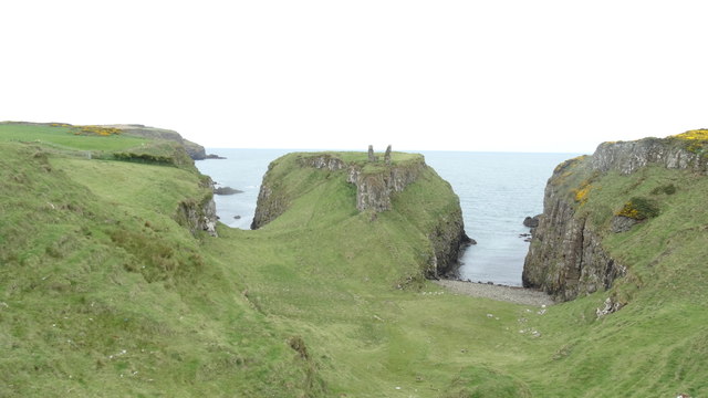 DUNSEVERICK CASTLE in Feigh Alias DunseverickDUNSEVERICK CASTLE · 2.7 mi
 Dunseverick CastleCastle · 2.7 mi
 Fullerton ArmsPublic House · 3.0 mi
 Kilmoyle WoodForest · 3.6 mi
 Sheep IslandIslet · 3.8 mi
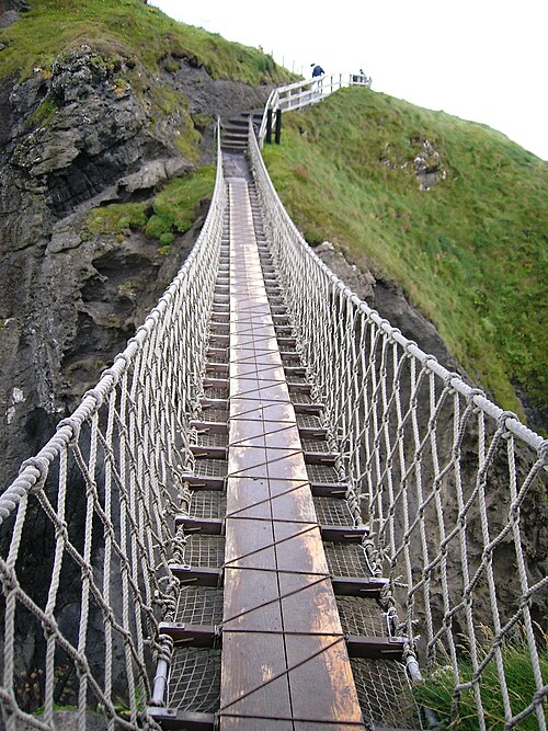 Carrick-a-rede Rope BridgeHeritage attraction · 3.9 mi