
What is recorded here
Twiland Wood is a wood in Bromsgrove, England.
From OpenStreetMap (© OpenStreetMap contributors) w33935389
This does not grant access. Check current paths, opening conditions and ownership before entering.
Places near here
Photo credits
- Gordon Griffiths, Wikimedia Commons · CC BY-SA 2.0
- Chris Allen, Wikimedia Commons · CC BY-SA 2.0
- Roy Hughes, Wikimedia Commons · CC BY-SA 2.0
- Richard Law, Wikimedia Commons · CC BY-SA 2.0
- Dillys Dad, Wikimedia Commons · CC BY-SA 2.0
- Phil Champion, Wikimedia Commons · CC BY-SA 2.0
- john Reynolds, Wikimedia Commons · CC BY-SA 2.0
- Mike Parker, Wikimedia Commons · CC BY-SA 2.0
 Kettles WoodForest · 611 yd
 Former Blue Bird Toffee Factory: Boundary Walls, Railings and GatesListed building · 1348 yd
 Former Blue Bird Toffee Factory: Administration BuildingListed building · 1386 yd
 Long Saw CroftWood · 1543 yd
 Frankley HillMountain / peak · 1.1 mi
.jpg/250px-Moat_at_the_former_Frankley_Hall_site_(geograph_6513602).jpg "Photo: Richard Law, Wikimedia Commons · CC BY-SA 2.0") Frankley HallArchaeological place · 1.2 mi
Frankley HallArchaeological place · 1.2 mi Halesowen Abbey and associated water control featuresScheduled monument · 1.3 mi
 Romsley HillMountain / peak · 1.7 mi
 Source of the River ReaSpring · 1.7 mi
 Woodgate Valley Country Park Visitor CentreVisitor information · 1.8 mi
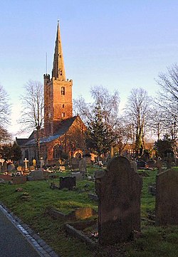 Halesowen Architectural Heritage TrailWalking route · 1.8 mi
 St Kenelm's WellSpring · 2.0 mi
More woods, forests and old trees in Bromsgrove · All of Bromsgrove
What do you know about this place?