What is recorded here
19th century folly belonging to Camas House located 240m to S. Described by the National Inventory of Architectural Heritage [NIAH] as follows; 'Freestanding square-plan two-stage turret, built c. 1820. Battlemented top to turret with carved copings. Roughly dressed limestone walls having dressed quoins and cut limestone stringcourses to upper stage. Loop openings. Located within rubble stone boundary wall to Camas House' (www.buildingsofireland.ie; NIAH Reg. No. 21903128).
Compiled by: Martin Fitzpatrick
Date of upload: 1 April 2021
The monument record does not grant public access. Check the route and ask the landowner before entering private land.
- What survives
- Recorded monument
Places near here
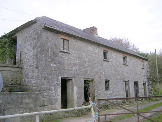 Camas Houseoutbuilding, bridge · 242 yd
 IndicatedChurch · 402 yd
 BarrowBarrow, ditch barrow · 643 yd
 Enclosure in Carrigeen (smallcounty By.)Enclosure · 1089 yd
 (Site of) Tullabracky CastleCastle, unclassified · 1.2 mi
 Castle (in ruins)Castle, unclassified · 1.5 mi
 Lough GurVisitor information · 2.7 mi
 Grange Stone CircleArchaeological place · 2.7 mi
 KnockainyMountain / peak · 4.4 mi
 Skool HillMountain / peak · 5.1 mi
 European ashEuropean ash · 5.2 mi
 Flat cemetery in Knockainy WestFlat cemetery · 5.3 mi