What is recorded here
A Registered Historic Monument. On a hilltop with panoramic views in all directions. A well-defined, possibly landscaped, low (2m at S-3m at W) circular (base diam. 35m), flat-topped (diam 16m) steep-sided earthen mound. A modern farm road bordered by wooden post-and-rail fencing skirts the base NE-S-WSW. There is no trace of the two low earthen banks on the S limits of the summit, noted in 1972 (SMR file). A small concrete Trigonometrical Station is built into the upper surface.
Compiled by: Gearóid Conroy
Date of upload: 26 November 2012
Early Bronze Age tumulus; constructed as a burial mound and ceremonial site. Its prominent hilltop location suggests it had significant ritual or social importance in the local landscape.
This remains an important historical record, but the official description says the monument is no longer visible or has been destroyed. The monument record does not grant public access. Check the route and ask the landowner before entering private land.
- What survives
- No visible remains or recorded as destroyed
Places near here
 Enclosure in Kilcullenbridge (kilcullen Ed)Enclosure · 325 yd
 Church (in Ruins)Church · 644 yd
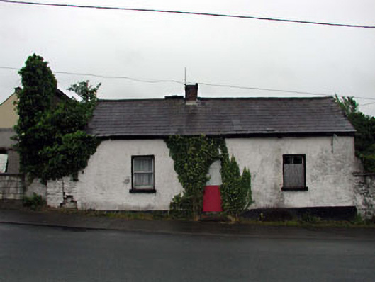 Hillside Cottagehouse · 732 yd
 CastlemartinCastle, tower house · 930 yd
 1798 memorial stoneMonument · 1052 yd
 The MagicianMonument · 1057 yd
 IndicatedCastle, unclassified · 1120 yd
 New Abbey WoodsWood · 1.0 mi
 Coillte ForestForest · 1.3 mi
 Newbridge SilverwareMuseum · 3.3 mi
 Burial ground in CrehelpBurial ground · 6.6 mi
 Councillor Jim MileyMemorial · 8.7 mi